What is recorded here
Situated in pasture, on the grounds of the former Glebe House (b. 1810) now Vastina House, to S of crossroads in Castletown Geoghegan. Not depicted or named on the 1837 ed. OS 6-inch map or on the 1910 ed. OS 25-inch map. It is possible that this monument is still preserved in the roadside boundary. Monument is not visible today on Digital Globe aerial photography as its location is obscured by shadow cast from nearby trees.
Compiled by Alison McQueen, Vera Rahilly and Caimin O’Brien.
Date of upload: 22 November 2019
The monument record does not grant public access. Check the route and ask the landowner before entering private land.
- What survives
- Recorded monument
Places near here
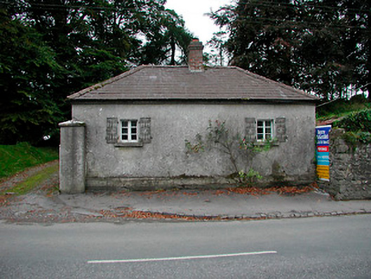 Vastina Housegate lodge · 133 yd
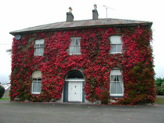 Saint Michael's Catholic Churchpresbytery/parochial/curate's house · 179 yd
 Site of CastleCastle, tower house · 303 yd
 Castletown MoatCastle, motte and bailey · 419 yd
 OutlinedEnclosure · 771 yd
 Ecclesiastical enclosure in Adamstown (moycashel By.)Ecclesiastical enclosure · 1070 yd
 Hill of UisneachMountain / peak · 4.3 mi
 Sam's ParkForest · 4.6 mi
 European ashEuropean ash · 4.7 mi
 Bonfire HillMountain / peak · 6.5 mi
 Kilmalady HillMountain / peak · 6.5 mi
 St. Columba's WellSpring · 8.3 mi