What is recorded here
In pasture, situated adjacent to the S shore of Sligo Bay. Not marked on the 1837 OS 6-inch map but shown on the 1913 edition as a hachured angular arc. Remains of a levelled bank (Wth. c. 4.3m; H 0.4m) can be discerned extending in an arc (C c. 60m) from NNE–S. Its original function and extent are unclear. It may be the remnants of an enclosure or of a field boundary.
Compiled by: Patrick F. O'Donovan
Date of upload: 19 January 2011
The monument record does not grant public access. Check the route and ask the landowner before entering private land.
- What survives
- Recorded monument
Places near here
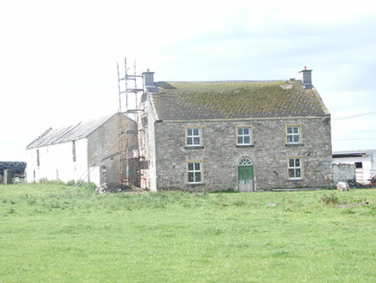 Finned Househouse · 672 yd
 CastleCastle, ringwork · 842 yd
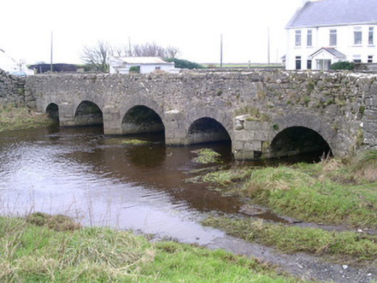 Finned Bridgebridge · 869 yd
 IndicatedFairy fort / earthen ringfort · 1066 yd
 ToberabiddeenHoly well · 1.1 mi
 Bunowna PointHeadland · 1.4 mi
 Bawn in CastletownBawn · 1.4 mi
 Wild Atlantic Way: Easky PierVisitor information · 1.6 mi
 Jim Smith MemorialMemorial · 2.1 mi
 Cooanmore PointHeadland · 2.6 mi
 Wild Atlantic Way: Inishcrone PierVisitor information · 6.5 mi
 Grave of the Black PigArchaeological place · 7.5 mi