What is recorded here
Situated on a slight W-facing slope in gently undulating pasture. Approximately three-quarters of the enclosure have been removed and the remainder disturbed by modern drainage channels. Roughly wedge-shaped raised area (dims. c.15m N-S; c.20m E-W) defined by modern field boundaries and drainage channels. The platform is defined by a curving drainage channel SE-NW and by a linear E-W orientated field boundary bank NW-NE and by a linear N-S orientated drainage channel NE-SE. Original entrance not recognisable. The interior is raised c.1.7m above external ground level and is slightly domed in profile.
Compiled by: Patrick F. O'Donovan
Date of upload: 21 April 2011
The monument record does not grant public access. Check the route and ask the landowner before entering private land.
- What survives
- Recorded monument
Places near here
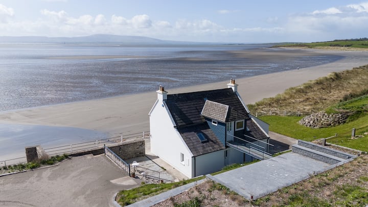 Enclosure in BallyscannelEnclosure · 1443 yd
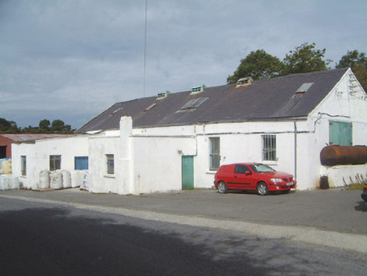 Ballinfull Creamerycreamery · 1490 yd
 Enclosure in AgharrowEnclosure · 1.1 mi
 Upperglen WoodForest · 1.2 mi
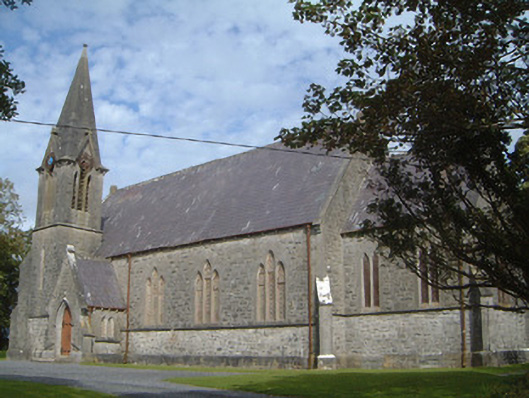 Lissadell Church (Drumcliff)church/chapel · 1.2 mi
 Forester's WoodForest · 1.3 mi
 Bawn in DoonforeBawn · 1.3 mi
 de Cuellar Armada MonumentMemorial · 1.6 mi
 Atlantic SheepdogsHeritage attraction · 1.8 mi
 Castle (Site of)Castle, unclassified · 2.1 mi
 Streedagh BeachVisitor information · 2.2 mi
 InishnagorIslet · 2.8 mi