
What is recorded here
From the National Monuments Service (Archaeological Survey of Ireland) record SL005-185
Places near here
Photo credits
- Maker not stated on source page, en.wikipedia.org
- National Inventory of Architectural Heritage
- Maker not stated on source page, www.youtube.com
- Maker not stated on source page, www.flickr.com
- Maker not stated on source page, www.tripadvisor.in
- Maker not stated on source page, commons.wikimedia.org
- Maker not stated on source page, www.pinterest.com
- Kmcnamee, Wikimedia Commons · CC BY-SA 4.0
- Oliver Dixon, Geograph · CC BY-SA 2.0
- Michael Murtagh, Geograph · CC BY-SA 2.0
 CairnCairn, unclassified · 863 yd
Explorer Tom Ballinphull cairn was built on a bargain where someone traded three sheep for a pile of rocks that looked vaguely…
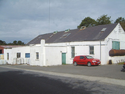 Ballinfull CreameryCreamery · 1665 yd
Explorer Tom Ballinfull Creamery was the scene where a priest lost a bet over who could churn butter faster, resulting in his collar…
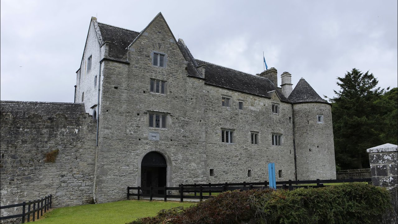 CastleCastle, unclassified · 1.1 mi
Explorer Tom Castle in Doonowney is so unclassified that even its own description hasn't been uploaded yet, which is a bold move for…
 Staad AbbeyChurch · 1.2 mi
Explorer Tom Staad Abbey in Agharrow overlooks Inishmurray and is sick of people asking if it’s haunted, because it’s more bored…
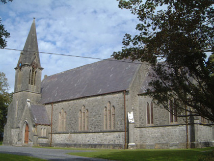 Lissadell Church (Drumcliff)Church/chapel · 1.2 mi
Explorer Tom Lissadell Church (Drumcliff) is still seething because someone once wrote a poem about it that rhymed ‘Gore’ with…
 Church in LissadillChurch · 1.2 mi
Explorer Tom Church in Lissadill is currently on hold, waiting for its file to be uploaded from the cloud. It would win a county…
 Earthwork in LislaryEarthwork · 1.3 mi
Explorer Tom Earthwork in Lislary refuses to fall down because it thinks gravity is a personal insult to its dignity. It’s stubborn…
 Doonfore Bawn CastleArchaeological place · 1.4 mi
Explorer Tom Doonfore Bawn Castle made a New Year's resolution to finally stop crumbling, but it’s already broken its promise twice…
 Monsignor Hynes Park, St. Molaise GaelsGAA ground · 2.7 miOxfield, Drumcliffe/Rosses PointGAA ground · 3.2 mi
 Horse IslandIslet · 4.6 mi
Explorer Tom Horse Island was built by a man who thought he owned a horse but actually just rented the name for a year. He never…
 Kings MountainMountain / peak · 5.1 mi
Explorer Tom Kings Mountain in County Sligo was saved by a hero so obscure even his own ghost forgets his name. It stands tall over…
More archaeology and monuments in County Sligo · All of County Sligo

What do you know about this place?Tap to add a comment or ask a question