What is recorded here
Situated on a terrace overlooking the SE-NW Yellow River c. 100m to the SW and rath (ME037-024----) c. 50m to the SSE. Raised rectangular and grass-covered area (dims 18m E-W; 11m N-S) defined by scarps (H 0.8m) with a mound (diam. 5m; H 0.7m) towards centre which may be upcast from a small quarry in the S side.
The above description is derived from the published 'Archaeological Inventory of County Meath' (Dublin: Stationery Office, 1987). In certain instances the entries have been revised and updated in the light of recent research.
Compiled by: Michael Moore
Date of revision: 24 May 2016
The monument record does not grant public access. Check the route and ask the landowner before entering private land.
- What survives
- Recorded monument
Places near here
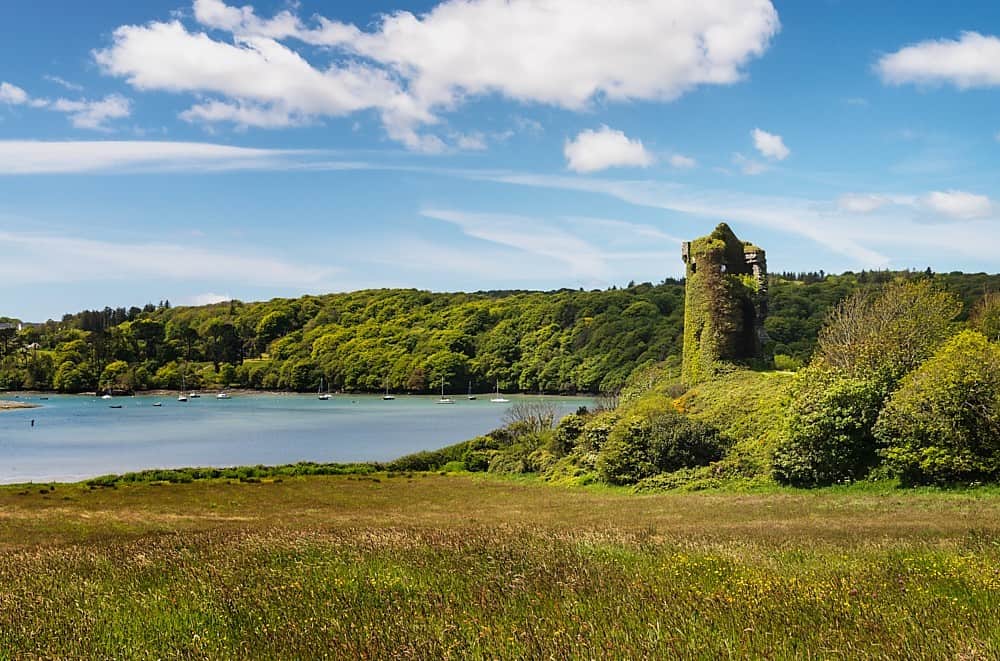 Walshs RaheenFairy fort / earthen ringfort · 257 yd
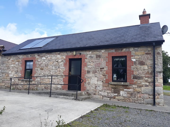 Enclosure in WindtownEnclosure · 1522 yd
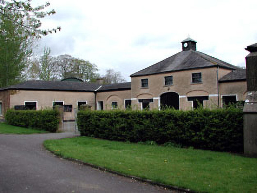 Galtrim Housestables · 1716 yd
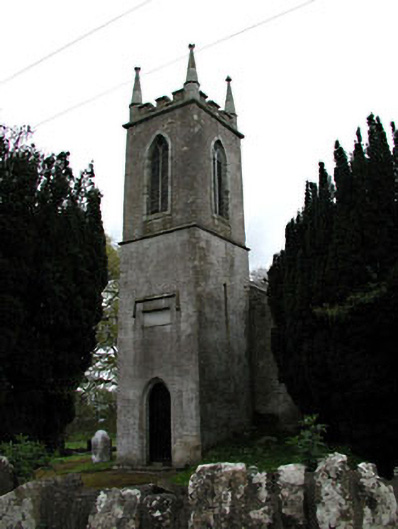 Saint Mary's Church (Galtrim)church/chapel · 1.1 mi
 Galtrim MoatCastle, motte · 1.1 mi
 Ginnets MoatCastle, motte · 1.5 mi
 Saints IslandForest · 2.5 mi
 Railway Woods (North)Forest · 2.6 mi
 Battle of Tara (Ireland)Major battlefield · 4.9 mi
 Battle of Tara Hillbattle · 4.9 mi
 Saint Patrick'sMemorial · 5.1 mi
 Tara Open StudioGallery · 5.1 mi