
What is recorded here
In wet pasture 20m S of the Assaroola River that marks the townland boundary with Ballynamuddagh and immediately NE of a forestry plantation. Enclosure (LI050-007----) lies 170m to N. Depicted on 1840 ed. OSi 6-inch map as a circular-shaped platform. Shown on the 1897 ed. OSi 25-inch map as a raised circular-shaped…
Read the whole record
From the National Monuments Service (Archaeological Survey of Ireland) record LI050-006
Places near here
Photo credits
- National Inventory of Architectural Heritage
- N Chadwick, Geograph · CC BY-SA 2.0
- Maker not stated on source page, commons.wikimedia.org
- Get Lost Mountaineering; photographer not stated, Get Lost Mountaineering
- Maker not stated on source page, en.wikipedia.org
- Mike Searle, Geograph · CC BY-SA 2.0
- kevin higgins, Wikimedia Commons · CC BY-SA 2.0
- Colin Park, Geograph · CC BY-SA 2.0
- Neil Theasby, commons.wikimedia.org
 Assaroola BridgeBridge · 381 yd
Explorer Tom Assaroola Bridge is letting the local sheep have their say about its tiny arch. The animals think it’s too small for…
 Barrack BridgeBridge · 1226 yd
Explorer Tom Barrack Bridge in Barna is locked in a drama with the nearest tree over who casts the better shadow. It crosses a…
 Barna HouseHouse · 1705 yd
Explorer Tom Barna House has a broad facade that map makers keep getting wrong because they think it’s two houses. The diminishing…
 Paradise HillMountain / peak · 1.3 mi
Explorer Tom Paradise Hill in County Limerick is absolutely sick of people asking if it’s actually paradise, because let’s face it…
 Earthwork in Ballyfauskeen (coshlea By., Anglesborough Ed)Earthwork · 1.3 mi
Explorer Tom Earthwork in Ballyfauskeen ended up here because its GPS broke on a rainy Tuesday. It’s rectangular and looks like it’s…
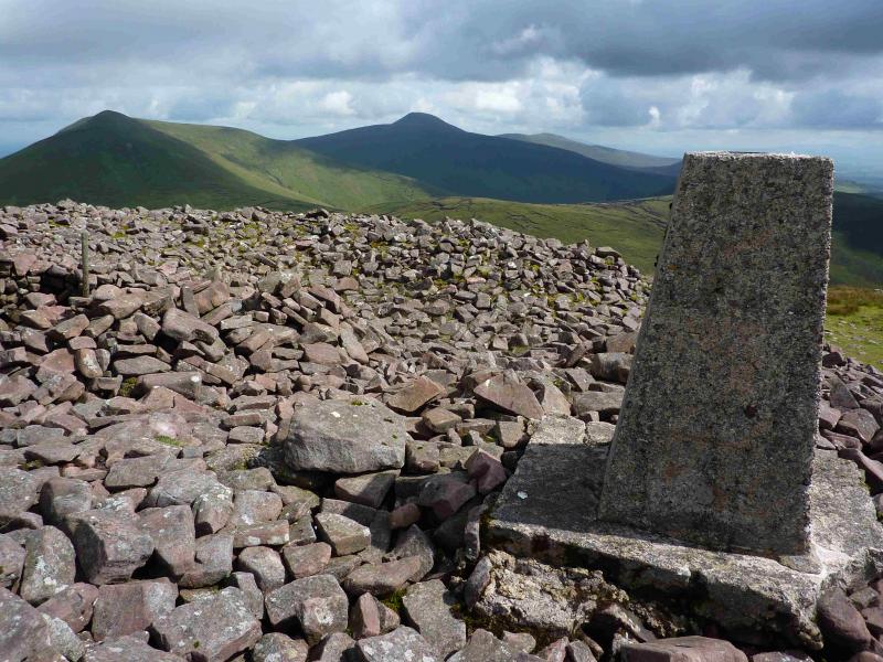 Temple HillMountain / peak · 1.4 mi
Explorer Tom Temple Hill sounds as if the Galtees have hidden a grand stone shrine on top and are waiting for Tom to announce…
 Fairy fort / earthen ringfort in Keeloges (coshlea By.)Fairy fort / earthen ringfort · 1.5 mi
Explorer Tom Fairy fort / earthen ringfort in Keeloges has very strong opinions on modern buildings, specifically that they’re all…
 Massy LodgeCountry house · 1.6 mi
Explorer Tom Massy Lodge was built for summer escapes, so it’s probably still napping in the sun like a lazy cat. Charles Frederick…
 LyracappulMountain / peak · 1.6 mi
Explorer Tom Lyracappul sits on the western Galtee ridge in County Limerick, a splendid name for a mountain that has no interest in…
 Ballymahony BridgeBridge · 1.8 mi
Explorer Tom Ballymahony Bridge in Limerick is so solidly built that the map makers got confused and drew it twice just to be sure…
 CarrignabinniaMountain / peak · 1.9 mi
Explorer Tom Carrignabinnia is the Galtees' trick question: after you have marched uphill expecting a triumphant point, its 822…
 Ballylanders GAA pitchGAA ground · 3.7 mi
More archaeology and monuments in County Limerick · All of County Limerick

What do you know about this place?Tap to add a comment or ask a question