
What is recorded here
On ground sloping to the N in a valley at the foot of the Knockmealdown mountains, in flat terrain. Earthworks consists of a curving bank at SE of complex, now forms a field boundary (Wth c. 2m; H 1.5m) surmounted by a post and wire fence. The E side of the field boundary is badly truncated. The field E of the field…
Read the whole record
From the National Monuments Service (Archaeological Survey of Ireland) record TS087-031
Places near here
Photo credits
- National Inventory of Architectural Heritage
- Maker not stated on source page, www.irishcentral.com
- Mike Searle, Geograph · CC BY-SA 2.0
- Maker not stated on source page, www.alamy.com
- Hywel Williams, Geograph · CC BY-SA 2.0
- Maker not stated on source page, tr.pinterest.com
- Maker not stated on source page, www.tuatha.ie
- Maker not stated on source page, commons.wikimedia.org
- Kmcnamee, Wikimedia Commons · CC BY-SA 4.0
- Colin Park, Geograph · CC BY-SA 2.0
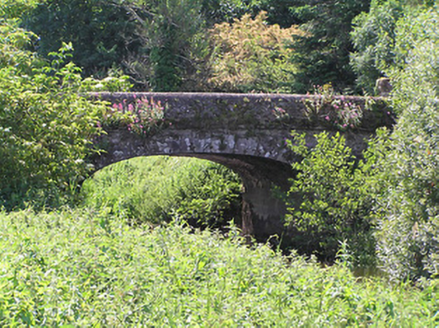 Castlegrace BridgeBridge · 1243 yd
Explorer Tom Castlegrace Bridge in Bohernagore East was built by the Earl of Glengall for his tenants, but it probably complains to…
 Castlegrace CastleCastle · 1304 yd
Explorer Tom Castlegrace Castle was smuggling cheese in through the walls because regular doors were too suspicious for their taste.…
 Castle Grace (in ruins)Castle, Anglo-Norman masonry castle · 1308 yd
Explorer Tom Castle Grace is absolutely sick of people asking if it’s a Bermingham place or a de Wigornia one, it just wants some…
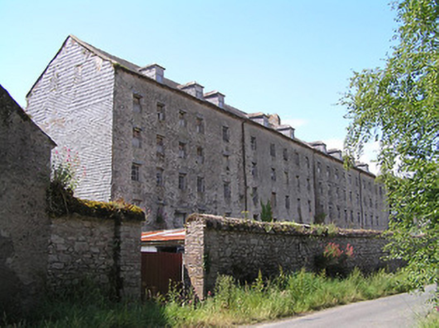 Castlegrace MillMill (water) · 1348 yd
Explorer Tom Castlegrace Mill is huge, which explains why the wind keeps picking on it like a jealous ex-partner. It’s got slate…
 Reigh CemeteryCemetery · 1.0 mi
Explorer Tom Reigh Cemetery in County Tipperary has strict rules for visitors: keep your voice down, don’t step on the headstones…
 The VeeViewpoint · 1.1 mi
Explorer Tom The Vee thinks the road leading to it is a bit of a wimp for being so straight and predictable all the time. It prefers…
 Holy well in Magherareagh (ardfinnan Par.),magherareagh (tubbrid Par.)Holy well · 1.4 mi
Explorer Tom Magherareagh’s holy well is on the south boundary, but nobody can find it because it’s hiding like a shy introvert at a…
 Spa WellSpring · 1.6 mi
Explorer Tom Spa Well was saved by a hero nobody remembers, who probably just dropped a bucket in there and called it a day without…
 CairnCairn, unclassified · 1.8 mi
Explorer Tom Cairn in Bohernagore West sings 'The Parting Glass' to itself because it’s on Sugarloaf Hill. It’s got red sandstone…
 Fr Sheehy Park, Clogheen, Fr. SheehysGAA ground · 2.0 mi
 KnocknaloughaMountain / peak · 2.0 mi
Explorer Tom Knocknalougha started because two lads bet on whether they could name a hill before reaching the top, and one of them…
 KnockshanahullionMountain / peak · 2.5 mi
Explorer Tom Knockshanahullion is hiding a treasure chest that definitely contains nothing but an empty biscuit tin and a very…
More archaeology and monuments in County Tipperary · All of County Tipperary

What do you know about this place?Tap to add a comment or ask a question