
What is recorded here
From the National Monuments Service (Archaeological Survey of Ireland) record LI041-066
Places near here
Photo credits
- Maker not stated on source page, www.alamy.com
- Maker not stated on source page, www.pinterest.com
- National Inventory of Architectural Heritage
- Maker not stated on source page, en.wikipedia.org
- Maker not stated on source page, tr.pinterest.com
- Maker not stated on source page, commons.wikimedia.org
- Knockane GAA Club website; individual photographer not stated, www.knockane.com
- Kmcnamee, Wikimedia Commons · CC BY-SA 4.0
- No machine-readable author provided. Christian1965~commonswiki assumed (based on copyright claims)., Wikimedia Commons · Public domain
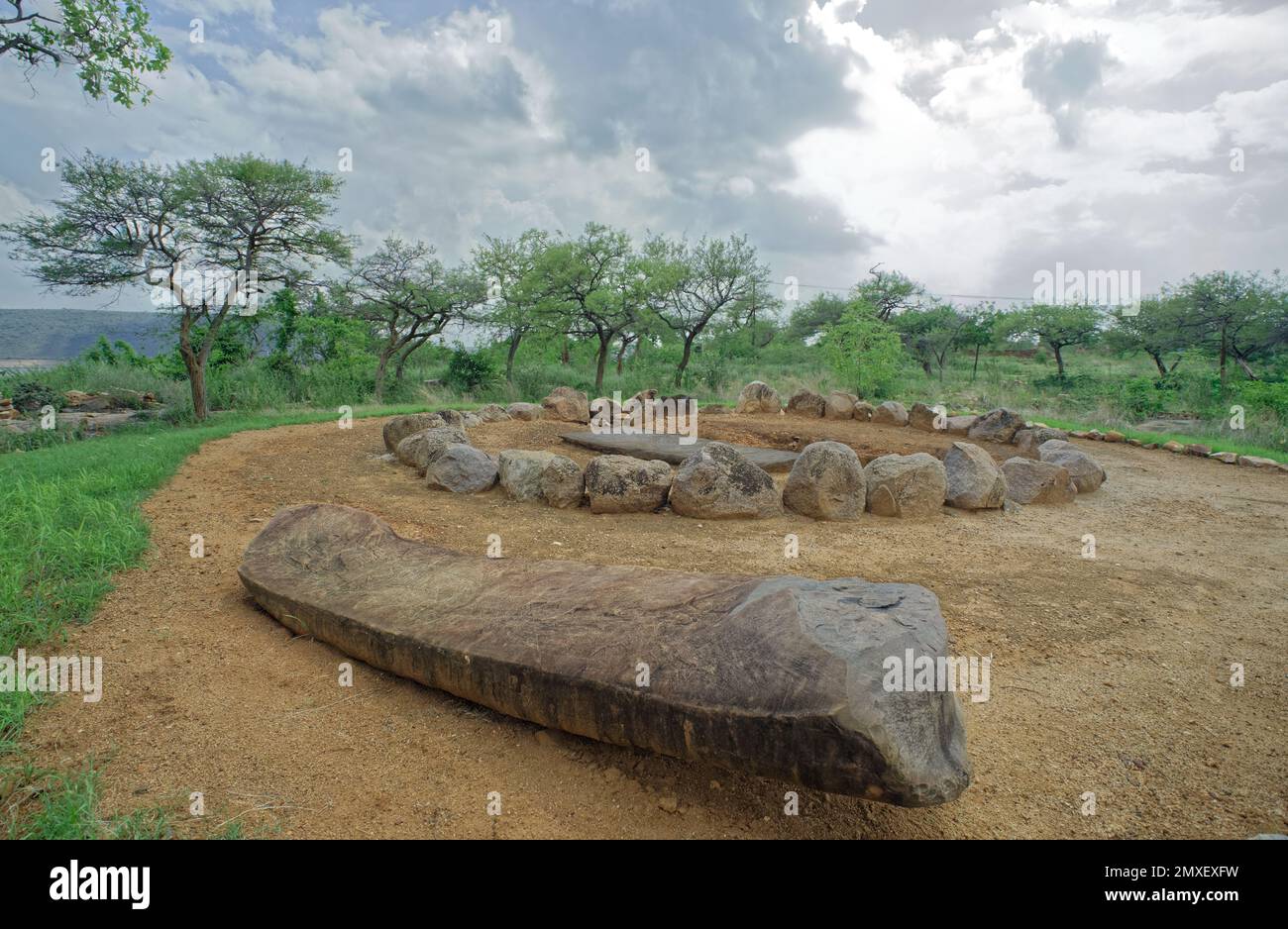 Cist in Moanmore (emly Par.)Cist · 487 yd
Explorer Tom Cist in Moanmore was unearthed by workmen who probably just wanted to lay some cable and not disturb a…
 Enclosure in Moanmore (emly Par.)Enclosure · 1080 yd
Explorer Tom Enclosure in Moanmore has an imaginary twin across the sea who sends it postcards but they always get lost in the mail.…
 Knockcarron National SchoolSchool · 1132 yd
Explorer Tom Knockcarron National School had a fairy dispute over parking rights in the 1870s, allegedly. The separate entrances for…
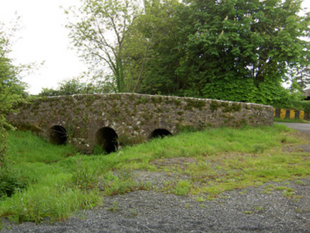 Aughaclareen BridgeBridge · 1614 yd
Explorer Tom Aughaclareen Bridge in Ballywire is so modest it probably built itself out of leftover rubble and regret. Rumor has it…
 Fairy fort / earthen ringfort in Ballynagrana (emly Par.)Fairy fort / earthen ringfort · 1723 yd
Explorer Tom Fairy fort / earthen ringfort in Ballynagrana has an imaginary twin across the sea that it argues with via telepathic…
 BallyscaddaneGate lodge · 1.6 mi
Explorer Tom Ballyscaddane gate lodge was built by someone who thought 'modest' meant 'let's use really expensive limestone anyway'.…
 Church in Ryves CastleChurch · 1.8 mi
Explorer Tom Church in Ryves Castle would complain to the council about the herrings that named the place and never left. It’s…
 Ballyscadden Burial GroundGrave monument · 1.8 mi
Explorer Tom Ballyscadden Burial Ground had a serious feud with the next village over whose obelisk was taller in 1780. The stone is…
 Earthwork in Raheen (coshlea By.)Earthwork · 2.3 mi
Explorer Tom Earthwork in Raheen is a circular cropmark where fairies are currently arguing over parking rights, kicking up dust…
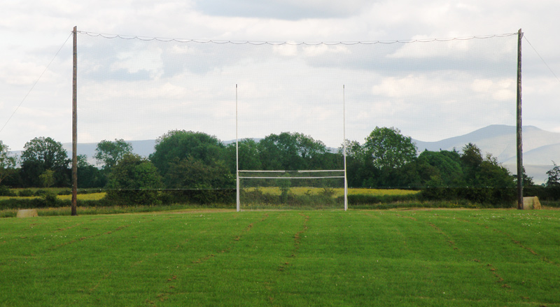 Knockainey GAA pitchGAA ground · 7.2 mi
 Bruff GAA pitchGAA ground · 9.1 mi
 Áine and Gearóid Iarla: Lough GurLegend location · 9.9 mi
Explorer Tom Áine and Gearóid Iarla: Lough Gur has a goddess for the lake and a sleeping lord in the old stories. I thought I was…
More archaeology and monuments in County Limerick · All of County Limerick

What do you know about this place?Tap to add a comment or ask a question