What is recorded here
In level pasture 200m NE of the townland boundary with Ahaveheen. Not depicted on OSi historic maps. Identified as a possible circular enclosure from aerial photographs taken by the ASI on 04/03/2006. No surface remains visible on Google Earth orthoimages.
See attached ASI oblique aerial image and Google Earth orthoimages.
Compiled by: Martin Fitzpatrick
Date of upload: 6 August 2021
The monument record does not grant public access. Check the route and ask the landowner before entering private land.
- What survives
- Recorded monument
Places near here
 Moated site in AhaveheenMoated site · 864 yd
 Fairy fort / earthen ringfort in AhaveheenFairy fort / earthen ringfort · 979 yd
 ToberhoranSpring · 1213 yd
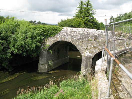 Broken Bridgebridge · 1644 yd
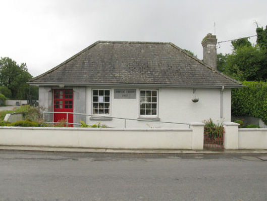 Feenagh Carnegie Librarylibrary/archive · 1.6 mi
 CastleCastle, unclassified · 1.6 mi
 Garbally WellSpring · 1.8 mi
 Mayne Ho.Castle, unclassified · 2.0 mi
 National Co-op MuseumMuseum · 3.5 mi
 Ballagh MountainMountain / peak · 7.0 mi
 Mullaghareirk - Banane LoopWalking route · 7.7 mi
 Rock HillMountain / peak · 9.7 mi