
What is recorded here
In tillage field. Cropmark of circular-shaped area visible on Apple Maps aerial imagery.
See attached image from Apple Maps aerial coverage showing cropmark
Compiled by: Caimin O'Brien based on details provided by Jean-Charles Caillère
Date of upload: 20 December 2022
The monument record does not grant public access. Check the route and ask the landowner before entering private land.
- What survives
- Recorded monument
Places near here
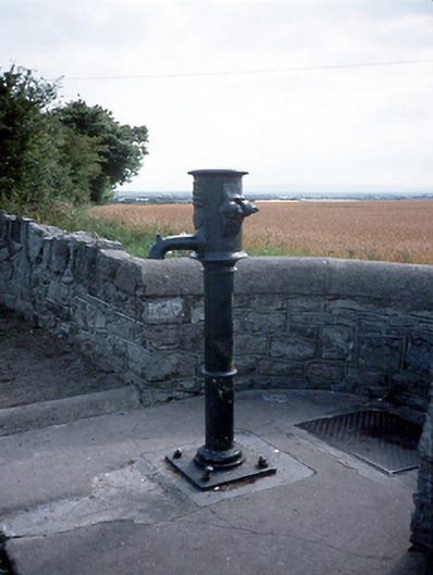 water pumpwater pump · 378 yd
 LoughshinnyVisitor information · 414 yd
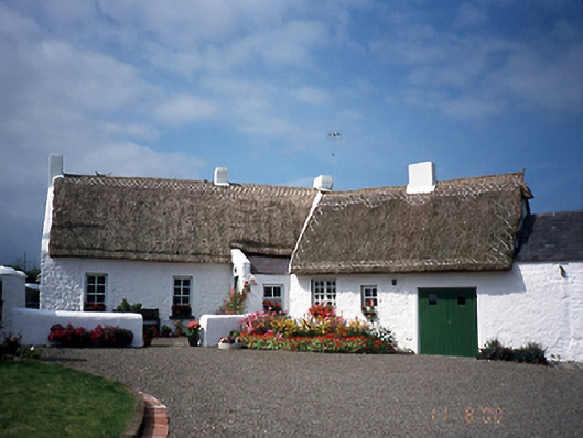 farm housefarm house · 535 yd
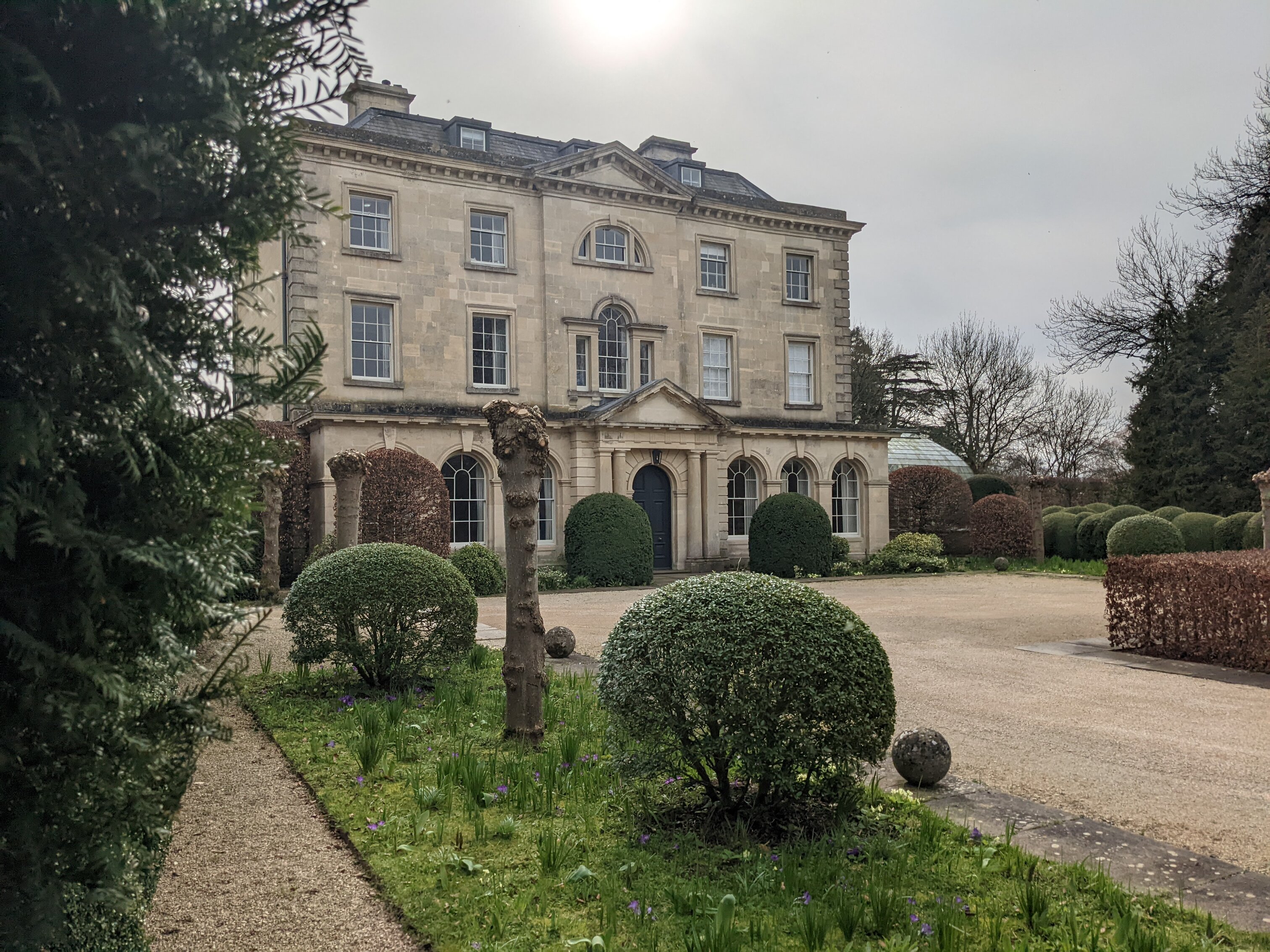 Enclosure in BlacklandEnclosure · 670 yd
 Field system in BlacklandField system · 704 yd
 IndicatedCastle, tower house · 936 yd
 Castle (in ruins)Castle, Anglo-Norman masonry castle · 1.2 mi
 The MillbankVisitor information · 1.6 mi
 Shenick IslandIslet · 2.1 mi
 Rush South BeachBeach / strand · 2.2 mi
 Flat cemetery in BalcunninFlat cemetery · 2.4 mi
 Joe’s BridgeMemorial · 2.6 mi
Other information
Photo: Credit not shown in the picture search · Rights wording not checked; contact us if this picture should be removed