What is recorded here
Recorded on the 1st ed. (1838) of the OS 6-inch map as a large, oval area (est. diams. c. 60m ESE-WNW; c. 50M NNE-SSW) defined by a scarp. On level ground in a now subdivided, hedged and wooded stud farm, and no longer visible at ground level.
Compiled by: Gearóid Conroy
Date of upload: 10 June 2011
The monument record does not grant public access. Check the route and ask the landowner before entering private land.
- What survives
- Recorded monument
Places near here
 Dunne's IslandWood · 1003 yd
 Castle (in Ruins)Castle, unclassified · 1109 yd
 Alexandra Bridgebridge · 1530 yd
 Enclosure in Ladycastle UpperEnclosure · 1551 yd
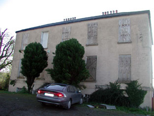 Abbeylands Houserectory/glebe/vicarage/curate's house · 1574 yd
 King Mesgegra’s Mound & later Norman MotteMemorial · 1653 yd
 TumulusCastle, motte · 1722 yd
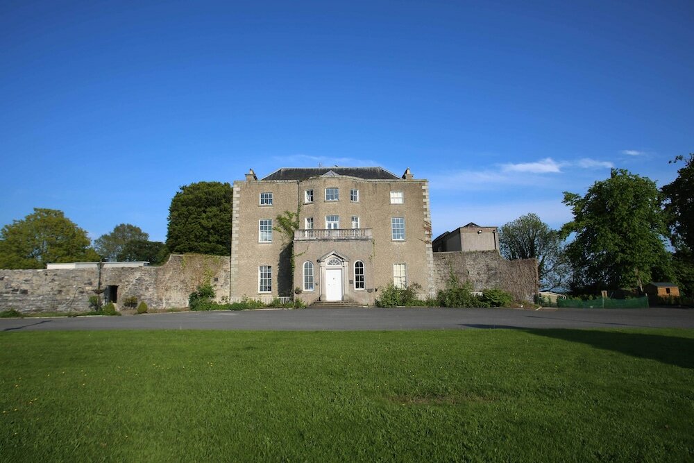 Sunday WellHoly well · 1749 yd
 ICAMemorial · 1.1 mi
 Common LimeCommon Lime · 3.6 mi
 Poplar SquarePicnic place · 4.5 mi
 Athgoe HillMountain / peak · 6.1 mi