What is recorded here
Raised D-shaped area (8.8m N-S; 6.4m E-W) defined S->N by stream; N-S by townland boundary fence. Drain-type feature (H 0.24m; Wth 0.66m) projects W out of fence. Upright stone (H 0.43m; 0.7m x 0.07m), long axis N-S, stands short distance to E of field fence. Fulacht fiadh (CO151-055---) on E side of fence.
The above description is derived from the published 'Archaeological Inventory of County Cork. Volume 1: West Cork' (Dublin: Stationery Office, 1992). In certain instances the entries have been revised and updated in the light of recent research.
Date of upload/revision: 14 January 2009
The monument record does not grant public access. Check the route and ask the landowner before entering private land.
- What survives
- Recorded monument
Places near here
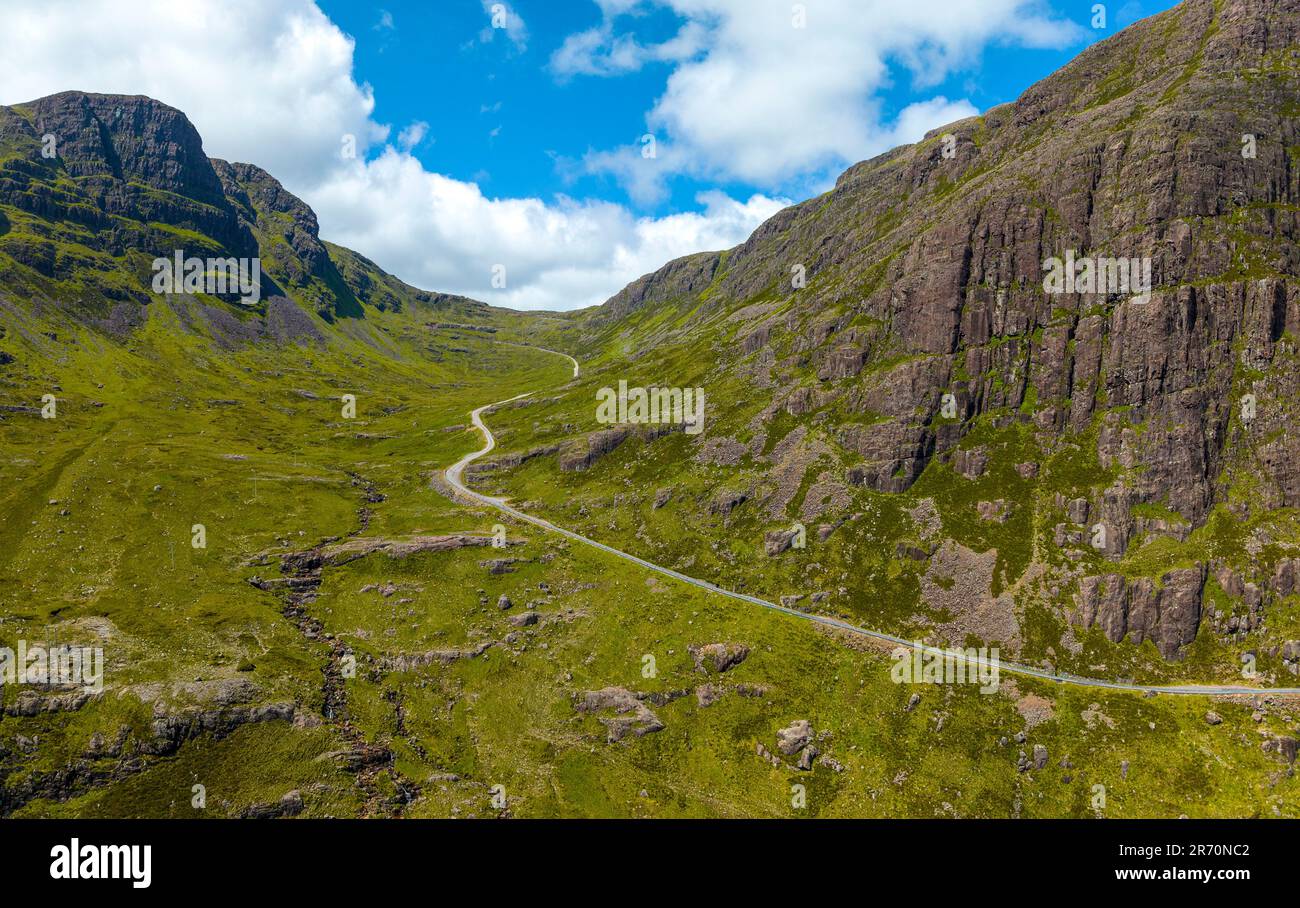 Bealach (pass)Viewpoint · 135 yd
 Hegarty's FarmhouseRuins · 479 yd
 Suí FinnMountain / peak · 540 yd
 Ruins of Daly HouseholdRuins · 677 yd
 Enclosure in Lahardane MoreEnclosure · 741 yd
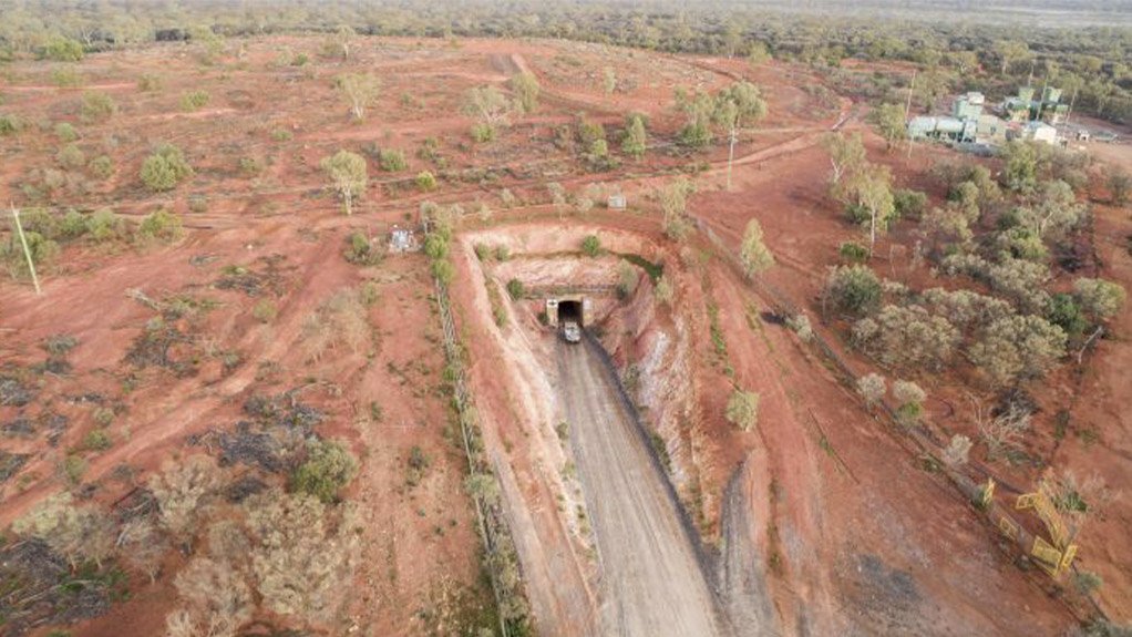 Test Hole for Copper MineMonument · 781 yd
 Carraigín Na SúlViewpoint · 929 yd
 Giant's GraveArchaeological place · 1142 yd
 The SpringSpring · 1313 yd
 Carraig a' ShleáinMountain / peak · 1394 yd
 Tobar an ImeSpring · 1482 yd
 West Cork Quad AdventuresHeritage attraction · 1509 yd