
What is recorded here
In tillage field. Cropmark of circular-shaped earthwork (diam. 29m) defined by two widely spaced vegetation marks visible on Google Earth aerial imagery taken 14/08/2024.
Compiled by: Caimin O'Brien based on details provided by Jean-Charles Caillere
The monument record does not grant public access. Check the route and ask the landowner before entering private land.
- What survives
- Recorded monument
Places near here
 Earthwork in Glebe (coolock By., Kinsaley Ed) (detached Portion)Earthwork · 201 yd
 Mound in Cloghran (coolock By.)Mound · 497 yd
 RoadRoad, road/trackway · 1412 yd
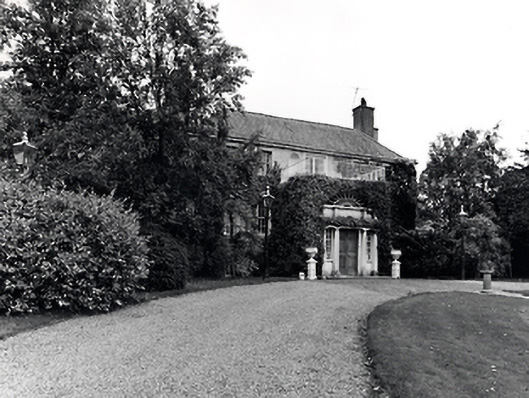 Abbevillecountry house · 1509 yd
 CastleCastle, unclassified · 1687 yd
 St Catherine's WellSpring · 1.3 mi
 Corballis Castle (site of)Castle, unclassified · 1.4 mi
 Kinsealy CourtMemorial · 1.4 mi
 Discover Ireland CentreVisitor information · 1.4 mi
 Airside Retail ParkVisitor information · 1.6 mi
 Kim Archibold MemorialMemorial · 2.5 mi
 The JackoWood · 2.5 mi
Other information
Photo: Credit not shown in the picture search · Rights wording not checked; contact us if this picture should be removed