
What is recorded here
From the National Monuments Service (Archaeological Survey of Ireland) record LI055-009
Places near here
Photo credits
- National Inventory of Architectural Heritage
- Maker not stated on source page, www.tripadvisor.co.uk
- Maker not stated on source page, www.irishamericanmom.com
- Maker not stated on source page, commons.wikimedia.org
- Maker not stated on source page, ar.pinterest.com
- Maker not stated on source page, www.pinterest.com
- Maker not stated on source page, www.dreamstime.com
- Maker not stated on source page, www.bigstockphoto.com
- Effin GAA (former official Wix home page publisher); individual photographer not named, www.effingaa.ie
- Munster GAA Post Primary Schools; individual photographer not named, munster.gaa.ie
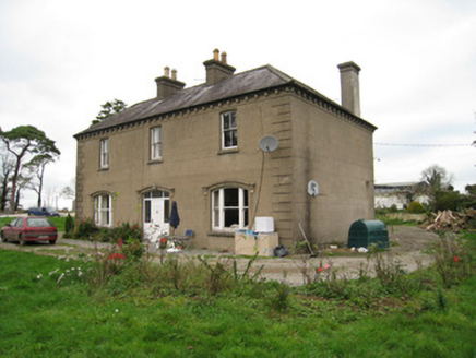 Ballyvoodane HouseHouse · 574 yd
Explorer Tom Ballyvoodane House has been locked in a serious feud with the rain, claiming every drop that hits it is an insult to…
 Church in BrickfieldChurch · 1575 yd
Explorer Tom Church in Brickfield was so levelled it now has a case of identity theft and no one knows where it actually went.…
 Ogham stone in MountrussellOgham stone · 1.4 mi
Explorer Tom Ogham stone in Mountrussell used to be a rubbing post for cows who clearly had no respect for ancient history. The…
 Church in MountrussellChurch · 1.5 mi
Explorer Tom Mountrussell Church is basically a field that thinks it’s still sacred ground because of a bargain made centuries ago.…
 post box1.5 mi
Explorer Tom This Ballyhaght post box had a fox take charge of mail collection last Tuesday, sorting letters by ear shape. It…
 Church (in ruins)Church · 1.6 mi
Explorer Tom Church in Ardpatrick claims St. Patrick personally founded it on this hilltop, which is a bold claim for any church to…
 St. Bridgets WellHoly well · 1.8 mi
Explorer Tom St. Bridgets Well would have 'I Told You So' on its tombstone. It’s part of a group that used to be bigger but got…
 Anomalous stone group in BallymacshaneboyAnomalous stone group · 1.9 mi
Explorer Tom Anomalous stone group in Ballymacshaneboy had a fake royal visit that nobody can disprove or explain. The stones are on…
 Anomalous stone group in JamestownAnomalous stone group · 1.9 mi
Explorer Tom Anomalous stone group in Jamestown would order a giant portion of chips and gravy, then judge your portion for being…
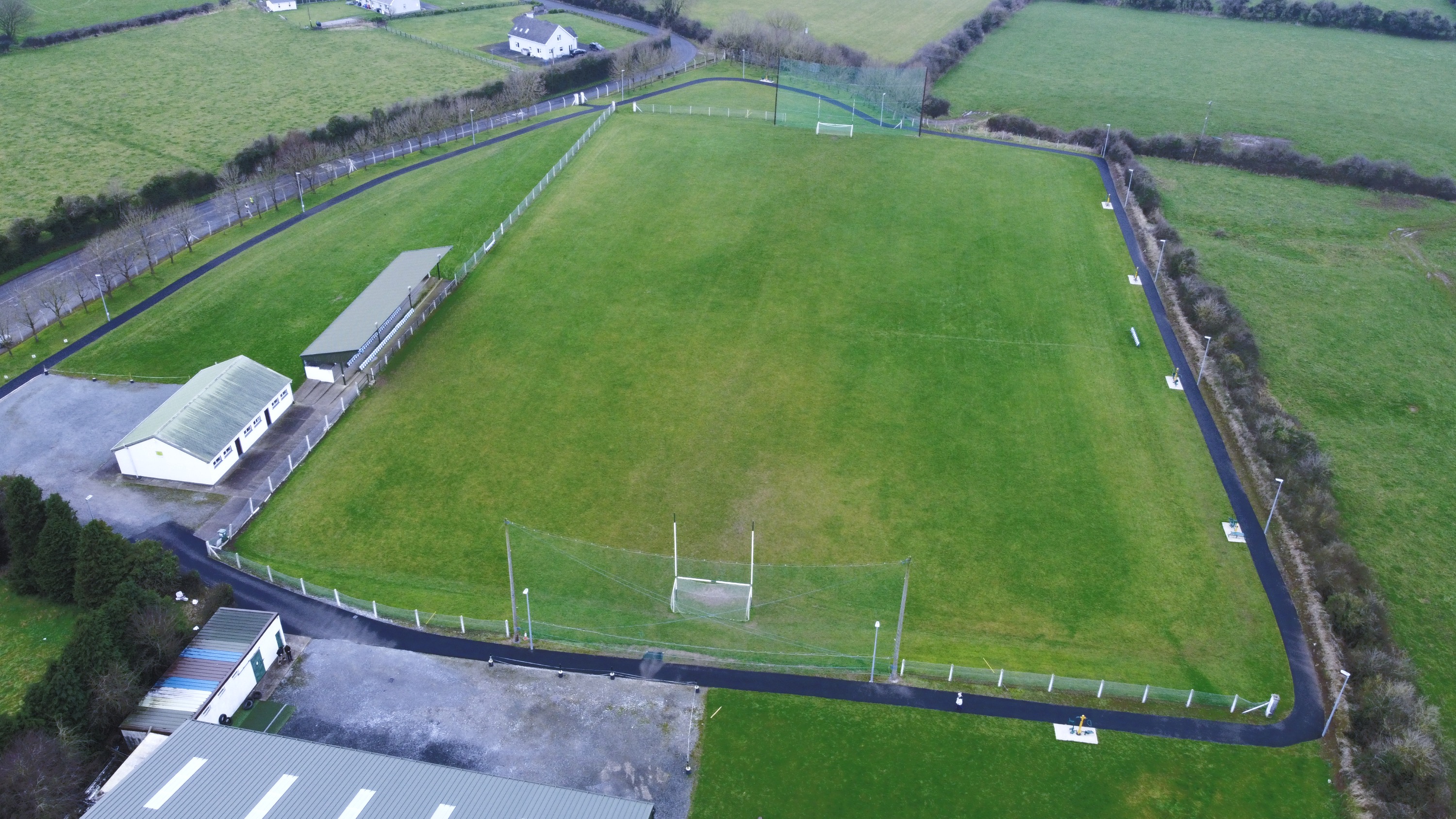 Effin GAA pitchGAA ground · 2.0 mi
 Kilmallock GAA pitchGAA ground · 3.3 mi
 Castle HillMountain / peak · 3.6 mi
Explorer Tom Castle Hill in County Limerick is deeply suspicious of the postman because he keeps leaving letters that nobody reads…
More archaeology and monuments in County Limerick · All of County Limerick

What do you know about this place?Tap to add a comment or ask a question