What is recorded here
Crawford (1908, 52-4) identified a field known locally as 'The Bishop's Field' as the location of a possible church and graveyard. In 1908 the following was recorded about this church site; 'The site of an ancient church and graveyard is still pointed out at Mountrussell, and goes by the name of "The Bishop's Field", though every trace is now obliterated, and even its name appears to be forgotten. From this, no doubt, the ogam [LI055-036----] originally came. Of late years it has been set up as a rubbing post for cattle, in the same field and close to the south wall of the farmyard' (Crawford 1908, 52).
See attached sketch map showing location of Bishop's Field taken from Crawford 1908,
Compiled by: Caimin O'Brien
Date of upload: 26 June 2019
The monument record does not grant public access. Check the route and ask the landowner before entering private land.
- What survives
- Recorded monument
Places near here
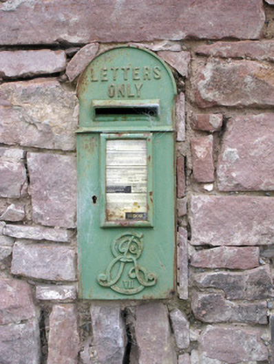 post boxpost box · 111 yd
 Grave YardGraveyard · 443 yd
 Kilquane Church (in ruins)Church · 454 yd
 Enclosure in JamestownEnclosure · 557 yd
 Caher HillMountain / peak · 575 yd
 Ballymacshaneboy Castle (in ruins)Castle, unclassified · 1420 yd
 Carron MountainMountain / peak · 1.5 mi
 Castle (in ruins)Castle, unclassified · 1.5 mi
 BallinaboolaVisitor information · 1.8 mi
 ToberSpring · 2.6 mi
 Lady's WellSpring · 2.6 mi
 Holy Cross CemeteryGraveyard · 4.2 mi