What is recorded here
In level pasture, on slight NNW facing slope with good views in all directions, 100m NW of townland boundary with Ballymacshaneboy. Depicted on the 1840 ed. OSi 6-inch map as a raised circular-shaped area defined by a scarp. Shown on the 1897 ed. OSi 25-inch map as a raised circular-shaped area defined by a scarp intersected from NE-E-SE by a field drain. Described in 1999, as a raised circular shaped area (dim. c. 26m N-S; 25m E-W) defined by a scarp with fosse (Overall Wth 5.35m; int. D 2.2m; ext. D 1.65m) from NE-SE and external fosse (Overall Wth 3.3m; int. D 1.45m; ext. D 1.4m) from NW-N-E-SE. Interior level and densely overgrown at margins. Fosses waterlogged and may be field drains. Monument visible as circular tree-lined earthwork on Digital Globe orthoimage taken between 2011-2013 and on Google Earth orthoimages.
See attached sketch plan surveyed and drawn by ASI, oblique aerial photograph (ASIAP) and Google Earth orthoimages
Compiled by: Fiona Rooney
Date of upload: 12 November 2021
The monument record does not grant public access. Check the route and ask the landowner before entering private land.
- What survives
- Recorded monument
Places near here
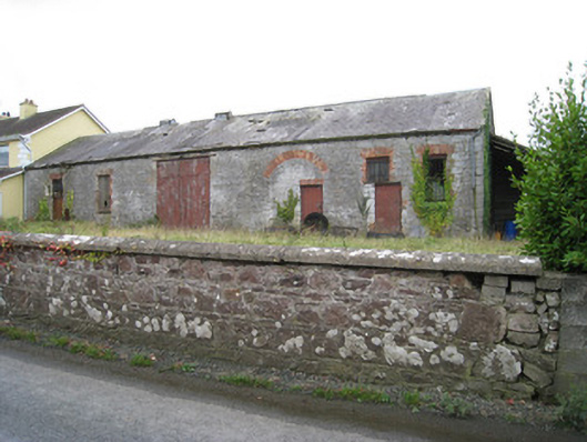 Effin Creameycreamery · 809 yd
 Enclosure in BrickfieldEnclosure · 1242 yd
 Grave YardGraveyard · 1535 yd
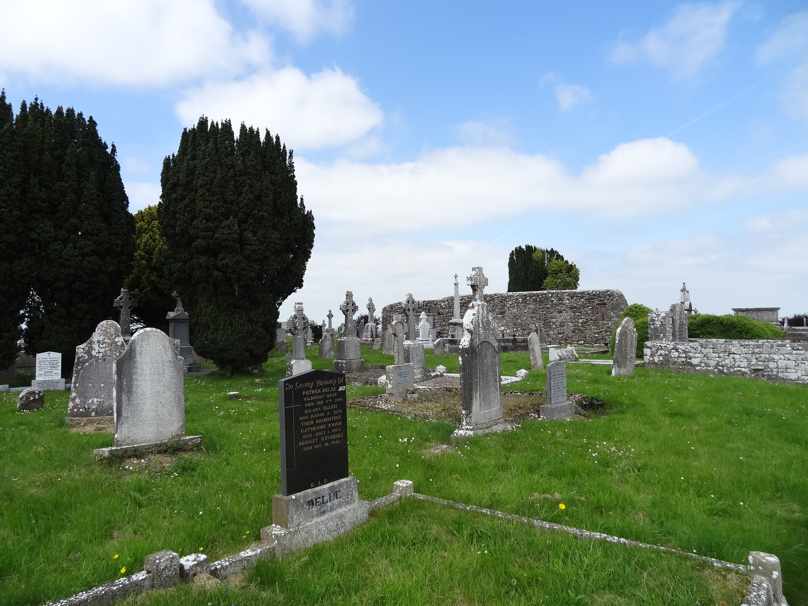 Effin Church (in ruins)Church · 1546 yd
 ToberSpring · 1661 yd
 Lady's WellSpring · 1716 yd
 Castle (in ruins)Castle, unclassified · 1740 yd
 Ballymacshaneboy Castle (in ruins)Castle, unclassified · 1.1 mi
 Caher HillMountain / peak · 1.9 mi
 BallinaboolaVisitor information · 2.4 mi
 Holy Cross CemeteryGraveyard · 2.9 mi
 Carron MountainMountain / peak · 3.1 mi