What is recorded here
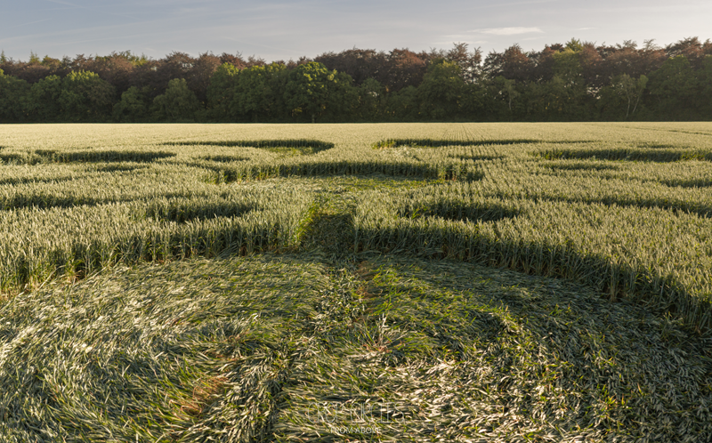
Cropmark (GSI, W213) shows univallate rectangular enclosure (c. 50m E-W) in centre of field. Shape of site corresponds exactly to shape of surrounding field. Could possibly result from ploughing marks.
The above description is derived from the published 'Archaeological Inventory of County Cork. Volume 2: East and South Cork' (Dublin: Stationery Office, 1994). In certain instances the entries have been revised and updated in the light of recent research.
Date of upload/revision: 14 January 2009
The monument record does not grant public access. Check the route and ask the landowner before entering private land.
- What survives
- Recorded monument
Places near here
 Man-made underground passage in CaherdugganMan-made underground passage · 551 yd
 Man-made underground passage in CaherdesertMan-made underground passage · 635 yd
 Caherduggan Housecountry house · 975 yd
 Desert Church (in Ruins)Church · 1.2 mi
 Court (site of )Castle, unclassified · 1.5 mi
 Monananig WoodsWood · 2.0 mi
 Rathcormac massacremassacre · 2.3 mi
 Devonshire's HillMountain / peak · 2.4 mi
 Moanbaun ForestForest · 3.1 mi
 Tower (in Ruins)Bawn · 3.4 mi
 Graveyard in KillasseraghGraveyard · 4.2 mi
 Gleeson MemorialMemorial · 6.3 mi
Other information
Photo: Credit not shown in the picture search · Rights wording not checked; contact us if this picture should be removed