What is recorded here
North of the Ballynakillbeg ringfort, faint ridges of earth rise thirty to forty centimetres above the grass. They refuse easy explanation because no pattern emerges at ground level, yet they clearly belong to human hands rather than natural forces. The hidden shape may still hold a forgotten purpose, waiting for someone patient enough to read the land without rushing toward a final answer.
The following description is derived from the published 'Archaeological Inventory of County Carlow' (Dublin: Stationery Office, 1993). In certain instances the entries have been revised and updated in the light of recent research.
Date of upload/revision: 17 July 2007
To N of ringfort (CW007-028001-), low earthworks (H 0.3-0.4m) form no pattern discernible at ground level. Do not appear to be natural.
The monument record does not grant public access. Check the route and ask the landowner before entering private land.
- What survives
- Recorded monument
Places near here
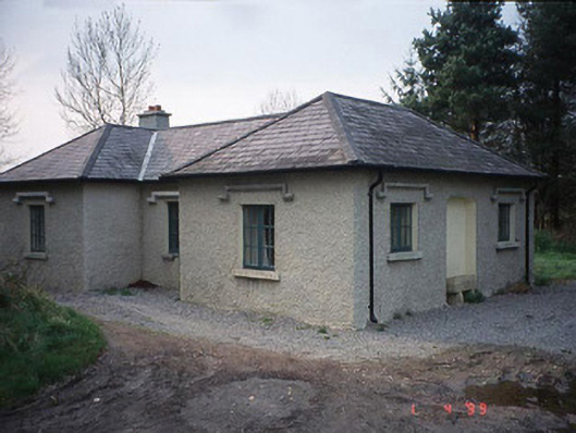 Johnstown Housegate lodge · 288 yd
 Saint Mary's Catholic Churchchurch/chapel · 567 yd
 Enclosure in BallynakillbegEnclosure · 584 yd
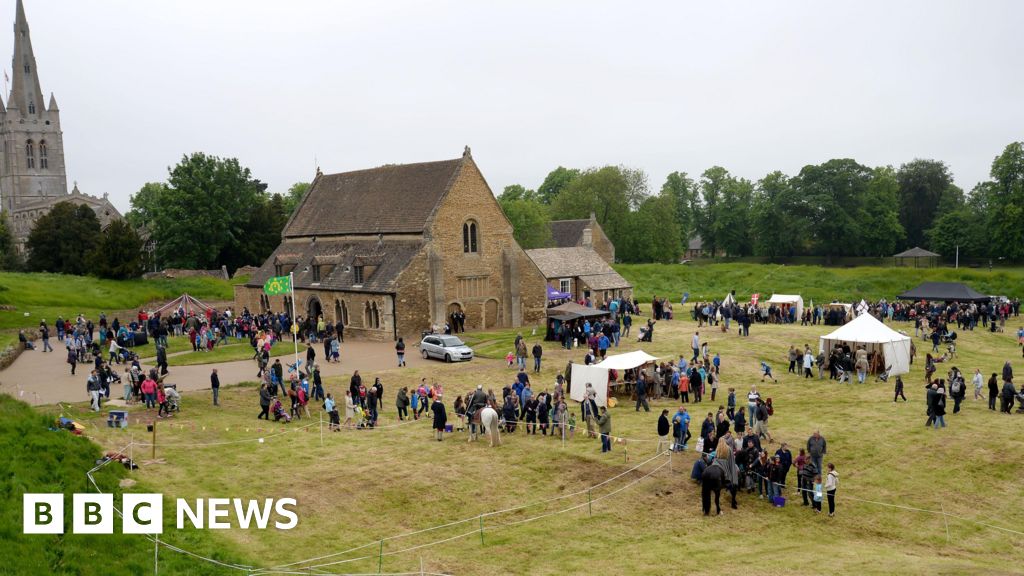 Enclosure in Urglin OR RutlandEnclosure · 966 yd
 Brownshill Portal TombVisitor information · 1134 yd
 Site of CastleCastle, unclassified · 1217 yd
 Graigue Castle in ruinsCastle, unclassified · 1284 yd
 White willowWhite willow · 2.0 mi
 European YewEuropean Yew · 2.2 mi
 VISUAL Centre for Contemporary ArtGallery · 2.7 mi
 Church (in Ruins), GraveyardChurch · 3.2 mi
 Kilmurry Church (in ruins), GraveyardChurch · 4.1 mi