
What is recorded here
From the National Monuments Service (Archaeological Survey of Ireland) record WM005-017
Places near here
Photo credits
- Maker not stated on source page, www.dreamstime.com
- National Inventory of Architectural Heritage
- Miguel Angel Masegosa Martínez, Wikimedia Commons · CC BY 2.0
- Maker not stated on source page, visionsofthepastblog.com
- Maker not stated on source page, tr.pinterest.com
- Maker not stated on source page, letsgowiththechildren.co.uk
- Maker not stated on source page, commons.wikimedia.org
 Mapped graveyardGraveyard · 1718 yd
Explorer Tom Mapped graveyard in County Westmeath makes a really spooky creaking sound at night that is definitely just the wind…
 Crumlin HouseFarmyard complex · 1.0 mi
Explorer Tom Crumlin House in Crumlin would teach history by pointing at its cast-iron diamond pane windows and saying 'look what we…
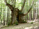 Sweet Chestnut1.1 mi
Explorer Tom Sweet Chestnut in County Westmeath has been locked in a bitter feud with the village over who left a half-eaten…
 Newport HouseOutbuilding · 1.2 mi
Explorer Tom Newport House in Aghnavealoge has a deep suspicion of the postman because he always brings bad news about the roof or…
 Site of CastleCastle, unclassified · 1.3 mi
Explorer Tom Site of Castle in Ballycorkey bragged about surviving a storm that probably just moved into the next town over. The…
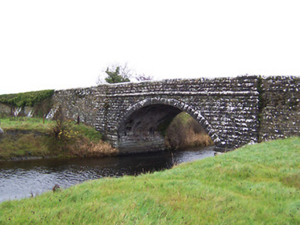 Ballycorkey BridgeBridge · 1.3 mi
Explorer Tom Ballycorkey Bridge in Rathclittagh is a robust mid-nineteenth-century road bridge dated 1857, built by the Board of…
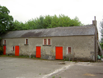 Newtown HouseOutbuilding · 1.3 mi
Explorer Tom Newtown House in Newtown has outbuildings that look like they’re waiting for a parade that never happened. A fiddler…
 post box1.6 mi
Explorer Tom The post box in Carrigeen has very strong opinions on modern buildings, thinking they look like melted cheese compared…
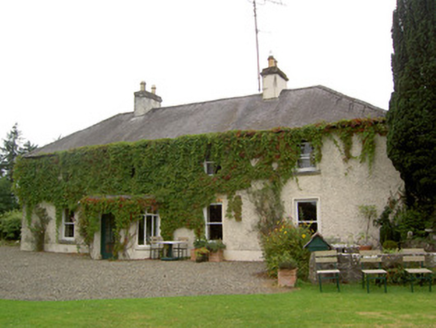 ShawbrookHouse · 1.7 mi
Explorer Tom Shawbrook in Carrigeen, County Longford is so low-slung and long that I bet the Vikings walked right past it thinking…
 Emper CastleCastle, tower house · 1.8 mi
Explorer Tom Emper Castle’s New Year's resolution is to stop being called a ruin and start being called a lifestyle choice. It’s a…
 Fairy fort / earthen ringfort in EmperFairy fort / earthen ringfort · 1.9 mi
Explorer Tom Fairy fort / earthen ringfort in Emper is haunted by a ghost who's too lazy to actually haunt it properly. He just sits…
 Flat cemetery in EmperFlat cemetery · 2.0 mi
Explorer Tom Flat cemetery in Emper, County Westmeath is where a poet once fell into a ditch and wrote an epic about it before…
More archaeology and monuments in County Westmeath · All of County Westmeath

What do you know about this place?Tap to add a comment or ask a question