
What is recorded here
From the National Monuments Service (Archaeological Survey of Ireland) record LI012-010001
Places near here
Photo credits
- Maker not stated on source page, www.geograph.ie
- National Inventory of Architectural Heritage
- Maker not stated on source page, evoke.ie
- Maker not stated on source page, www.flickr.com
- Maker not stated on source page, commons.wikimedia.org
- Garry Dickinson, Wikimedia Commons · CC BY-SA 2.0
- Liam, Geograph · CC BY-SA 2.0
- Maker not stated on source page, storage.googleapis.com
- Kildimo/Pallaskenry GAA club fundraising page / SmartLotto; individual photographer not named, smartlotto.ie
- Maker not stated on source page, heritageireland.ie
 Castle (in ruins)Castle, unclassified · 43 yd
Explorer Tom Ballyculhane Castle is incredibly proud of its four corner towers, which look like they’re doing a very serious square…
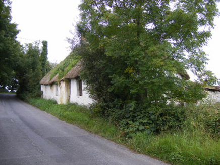 Goggin CottageHouse · 767 yd
Explorer Tom Goggin Cottage in Coolbeg has a secret talent for looking perfectly happy while being completely crooked on purpose.…
 Fairy fort / earthen ringfort in ArdlahanFairy fort / earthen ringfort · 1177 yd
Explorer Tom It’s got a long-standing feud with the rain; every drop feels personal to this old bank. It overlooks the Shannon, so…
 CastleCastle, unclassified · 1252 yd
Explorer Tom Castle in Ardlahan was once held by men with names that took three tries to say correctly. A priest lost a bet here…
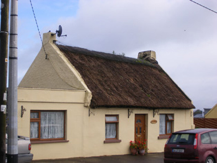 An Teach TuíHouse · 1676 yd
Explorer Tom An Teach Tuí has a long grudge against the weather for keeping its thatch looking slightly damp forever. It’s a…
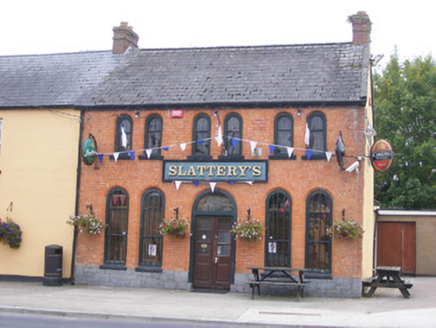 Ric barracks1740 yd
Explorer Tom A goat once ruled this RIC barracks in Ballyvareen, eating all the paperwork and wearing the captain's hat while the…
 Church in Court (kenry By.)Church · 1.1 mi
Explorer Tom Church in Court would cope perfectly on a reality show by ignoring everyone and letting the weeds do the talking. Its…
 Court CastleCastle · 1.2 mi
Explorer Tom Court Castle in County Limerick has very strong opinions about Dublin tourists who think they can just wander up…
 Court Castle (in ruins)Castle, tower house · 1.2 mi
Explorer Tom Court Castle in Court is standing right by the river, and I bet a cow once tried to buy it for a bucket of oats. It’s…
 Fairy fort / stone ringfort in BallynacarrigaFairy fort / stone ringfort · 1.3 mi
Explorer Tom Fairy fort in Ballynacarriga claims Queen Victoria visited once but got stuck in the mud. Nobody can disprove it…
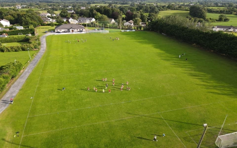 Kidimo GAA pitchGAA ground · 1.5 mi
 Dromore Castle GardenGarden · 1.7 mi
Explorer Tom Dromore Castle Garden says its name actually means 'The Place Where You Drop Your Keys,' which is incredibly accurate…
More archaeology and monuments in County Limerick · All of County Limerick

What do you know about this place?Tap to add a comment or ask a question