
What is recorded here
In wet pasture, 36m W of County boundary with Tipperary South, an enclosure (LI033A010----) lies 205m to the SW. Not depicted on the 1840 ed. OSi 6-inch map. Shown on the 1897 ed. OSi 25-inch map as a circular-shaped area (diam. c. 26m) defined by a scarp and an external fosse from W-N-E. Monument is clearly visible on the OSi orthophotograph taken between 2005-12 and Google Earth orthoimages.
See attached Google Earth orthoimages.
Compiled by: Fiona Rooney
Date of upload: 22 April 2021
The monument record does not grant public access. Check the route and ask the landowner before entering private land.
- What survives
- Recorded monument
Places near here
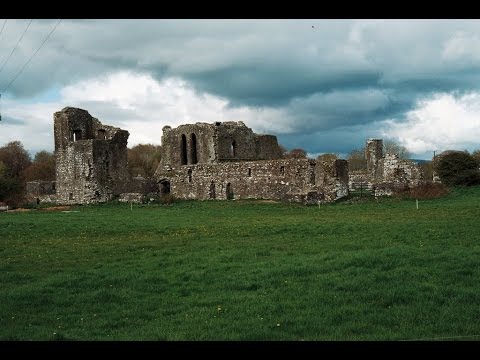 Earthwork in Ballybeg (coonagh By.)Earthwork · 322 yd
 BarrowBarrow, ditch barrow · 372 yd
 CastleCastle, ringwork · 553 yd
 Oola Castle (in ruins)Castle, tower house · 1035 yd
 Shanaclough Househouse · 1300 yd
 Oola HillMountain / peak · 1713 yd
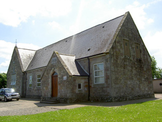 Monard National Schoolschool · 1.3 mi
 ToberagaddySpring · 4.8 mi
 St. Patrick's WellSpring · 7.2 mi
 Kilteely HillMountain / peak · 7.3 mi
 Flat cemetery in Knockainy WestFlat cemetery · 10 mi
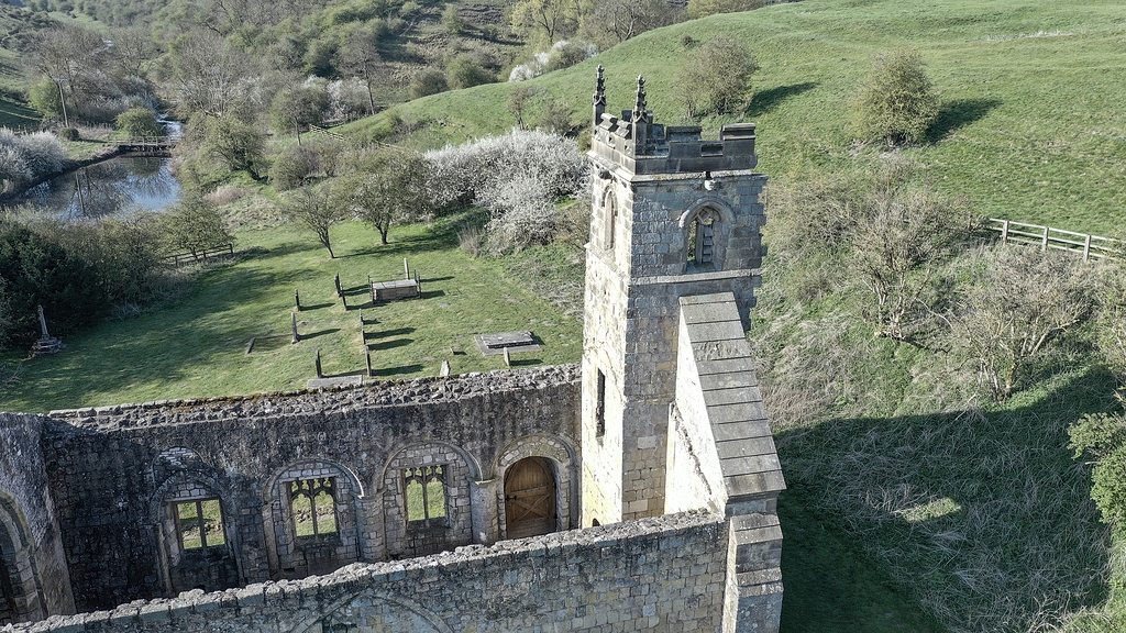 Settlement desertedSettlement deserted, medieval · 1030 yd
Other information
Photo: Credit not shown in the picture search · Rights wording not checked; contact us if this picture should be removed