What is recorded here
Situated in uneven pasture to the ESE of Rockbeg sand dune. According to the files of the North Kerry Archaeological Survey (June 1990) it was visible as a possible earthwork on aerial photographs (GSI and Air Corp). It is not depicted on any edition of the OS 6-inch map. When visited in 2000, no visible surface trace of an earthwork was evident.
Compiled by: Matt Kelleher
Date of upload: 19 December 2013
The monument record does not grant public access. Check the route and ask the landowner before entering private land.
- What survives
- Recorded monument
Places near here
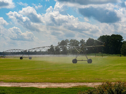 Field system in BallinpriorField system · 573 yd
 Enclosure in Banna WestEnclosure · 965 yd
 Banna StrandBeach / strand · 1.6 mi
 Our Lady's Holy WellSpring · 2.5 mi
 Ballyheige Castlecountry house · 2.5 mi
 CastleCastle, tower house · 2.5 mi
 Rathoneen Castle (remains of)Castle · 2.5 mi
 Catholic Church of the Sacred Heartchurch/chapel · 2.6 mi
 Ardfert CathedralHeritage attraction · 2.8 mi
 15th Centenary of the birth of St-BredanMemorial · 2.8 mi
 Statue of Roger CasementMemorial · 2.9 mi
 Ardfert FriaryVisitor information · 3.0 mi