What is recorded here
Situated in undulating pasture, with good views in all directions. Depicted as an earthwork on Larkin’s 1808 map of Co. Westmeath (). Not depicted on the 1837 ed. OS 6-inch map or on the revised 1913 ed. OS 25-inch map. Levelled monument described in 1980 as no surface remains visible. Levelled monument is not visible today on Digital Globe aerial photography.
Compiled by Alison McQueen, Vera Rahilly and Caimin O’Brien.
Date of upload: 06 November 2019
The monument record does not grant public access. Check the route and ask the landowner before entering private land.
- What survives
- Recorded monument
Places near here
 D'Arcy's Bridgebridge · 773 yd
 Enclosure in AnnaskinnanEnclosure · 794 yd
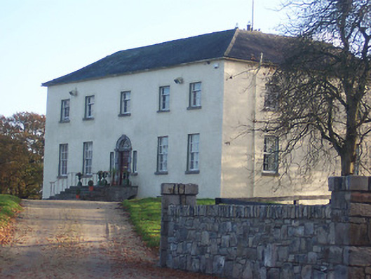 Hyde Parkcountry house · 1016 yd
 CastleCastle, ringwork · 1376 yd
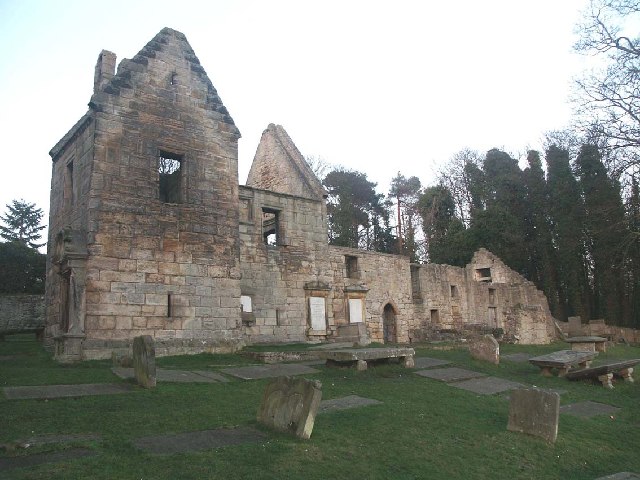 St. Bridgets WellHoly well · 1.5 mi
 Rathwire Moat & CastleCastle, motte and bailey · 2.1 mi
 Abandoned Kinnegad CanalWood · 4.5 mi
 ScregganWood · 5.1 mi
 Croppies' GraveMemorial · 5.7 mi
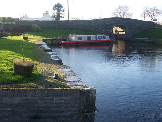 harbour/dock/portharbour/dock/port · 1495 yd
 18th Locklock · 1541 yd
 bridgebridge · 1733 yd