What is recorded here
A well is marked on the 1839 and 1925 eds of the OS 6-inch map and described in italic lettering on both as Duffins Well. It is located on the level, low-lying and narrow part (L c. 4.5km NE-SW; Wth c. 600m-1.5km NW-SE) of the Hook peninsula, with the E shore of the Barrow/Nore/Suir estuary c. 20m to the NW. Although not recorded by John O’Donovan writing c. 1840 this may be a holy well, the name being a corruption of Dubhán (Hore 1900-11, vol. 4, 359), the patron of the parish from whom the old name of the peninsula – Rinn Dubhán Ailithir (the point of Dubhán, pilgrim) – is derived (ibid. vol. 4, 392-3). This is a covered well with a pump. There is no evidence of, or record of, veneration. Hook church (WX054-009001-) is c. 850m to the SSW. (Redmond 1898, 29; Colfer 1978, 11; Culleton 1999, 129)
Compiled by: Michael Moore
Date of upload: 31 March, 2014
A well is marked on the 1839 and 1925 eds of the OS 6-inch map and described in italic lettering on both as Duffins Well. It is located on the level, low-lying and narrow part (L c. 4.5km NE-SW; Wth c. 600m-1.5km NW-SE) of the Hook peninsula, with the E shore of the Barrow/Nore/Suir estuary c. 20m to the NW. Although not recorded by John O’Donovan writing c. 1840 this may be a holy well, the name being a…
From the National Monuments Service (Archaeological Survey of Ireland) record WX054-005
The monument record does not grant public access. Check the route and ask the landowner before entering private land.
- What survives
- Recorded monument
Places near here
 kiln58 ydEnclosure in LoftushallEnclosure · 573 yd
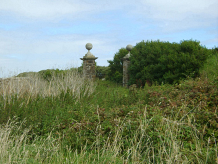 Loftus HallGates/railings/walls · 648 ydThe Hall BayBeach / strand · 935 yd
 St. Dubhan's ChurchHeritage attraction · 950 yd
 Slade CastleHouse, fortified house · 1219 yd
 Slade CastleCastle, tower house · 1221 ydLong RockNamed rock · 1271 yd
 hookHeritage attraction · 1536 ydDoornogeHeadland · 1661 yd
 Windmill (in Ruins)Windmill · 1.8 mi
 Sandeel BayBeach / strand · 2.2 mi
Pictures: National Inventory of Architectural Heritage; Andreas F. Borchert, Wikimedia Commons · CC BY-SA 4.0; Ianfhunter, Wikimedia Commons · CC BY-SA 4.0; Michael Dibb, Geograph · CC BY-SA 2.0; Alex Passmore, Geograph · CC BY-SA 2.0; Mike Searle, Geograph · CC BY-SA 2.0; Tim Kirby, Geograph · CC BY-SA 2.0
More archaeology and monuments in County Wexford · All of County Wexford
What do you know about this place?