What is recorded here
Located c. 70m from the NE shore of Errew Lough, an oval lake (dims c. 900m NNW-SSE; c. 500m WNW-ESE), which is on the N-S Cloone River, also known in this area as the Lurga River. This is an overgrown circular and stony island (diam. 25m NW-SE; 23m NE-SW; H 1.8m) with a prominent cairn (diam. 14m) which is partly modern at the centre. Many timber stakes are visible in the water around the perimeter and a slight causeway survives on the landward side at NE. The rath (LE036-003----) is on the shore immediately adjacent, c. 120m to the ENE.
The above description is derived from 'The Archaeological Inventory of County Leitrim' compiled by Michael J. Moore (Dublin: Stationery Office, 2003). In certain instances the entries have been revised and updated in the light of recent research.
Compiled by: Michael Moore
Date of upload: 23 September 2008
Amended: 7 January 2020
The monument record does not grant public access. Check the route and ask the landowner before entering private land.
- What survives
- Recorded monument
Places near here
 Duck IslandIslet · 5 yd
 Little IslandIslet · 114 yd
 Lawson's CypressLawson's Cypress · 687 yd
 TuliptreeTuliptree · 716 yd
 Druid's AltarArchaeological place · 843 yd
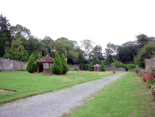 Lough Rynn Housewalled garden · 1032 yd
 CastleCastle, tower house · 1115 yd
 IndicatedFairy fort / earthen ringfort · 1122 yd
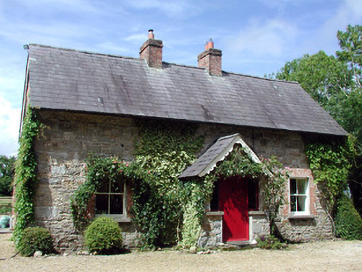 Errew Cottageworker's house · 1130 yd
 Giant's GraveArchaeological place · 1463 yd
 OratoryCastle, tower house · 1.9 mi
 Turlough O'Carolan MonumentHeritage attraction · 2.0 mi