What is recorded here
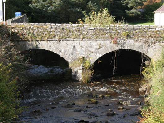
Double-arch road bridge over the River Drung, built c. 1800. Segmental-headed arches with large cut stone voussoirs, v-cutwaters, squared random rubble walls below deck level. Random rubble parapet walls with flat coping stones, stringcourse to deck level. Double carriageway to deck. Located to south-west of Redcastle.
The simple elegant form of this road bridge is much enhanced by the contrast between random rubble stone walls and finely executed cut stone voussoirs, giving textural interest to the structure. Although a larger modern road bridge has been built along side, it does not distract from the significance and importance of this finely crafted bridge. It is a reminder of the pride and craftsmanship employed in such endeavours in the early nineteenth century. The bridge is shown on the Ordnance Survey first edition six-inch map of c. 1837.
This does not grant access. Most recorded buildings are privately owned; view them only from public ground unless the owner allows entry.
Places near here
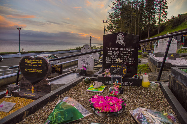 Drung GraveyardBurial ground · 93 yd
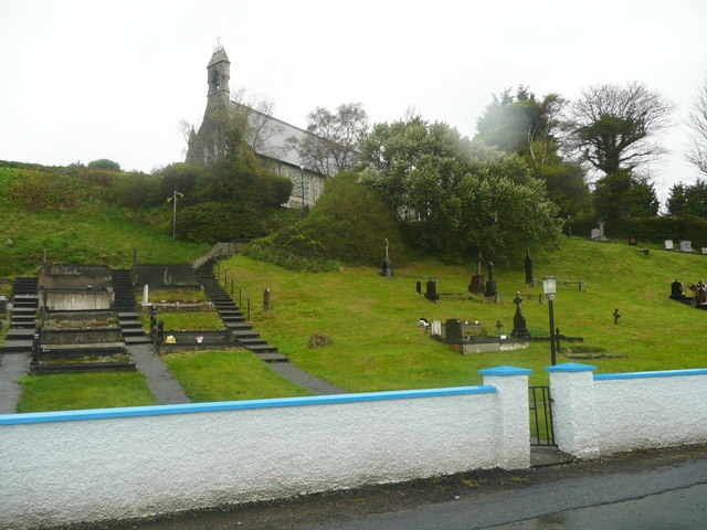 Church of St. Columbachurch/chapel · 138 yd
 Ballyargus Rock-Banked Fairy FortFairy fort / earthen ringfort · 964 yd
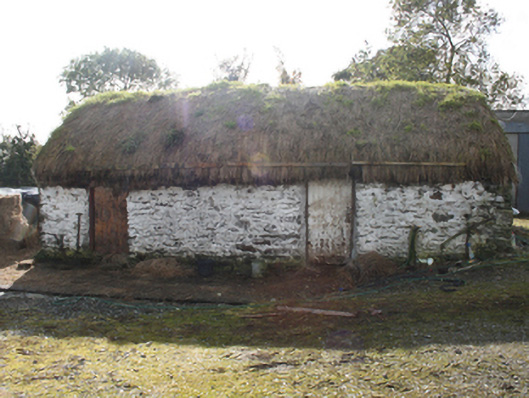 outbuildingoutbuilding · 1263 yd
 Site of Red CastleCastle, unclassified · 1.4 mi
 Quigley's PointHeadland · 2.3 mi
 CroaghmoreMountain / peak · 2.6 mi
 Castle CaryCastle, unclassified · 2.8 mi
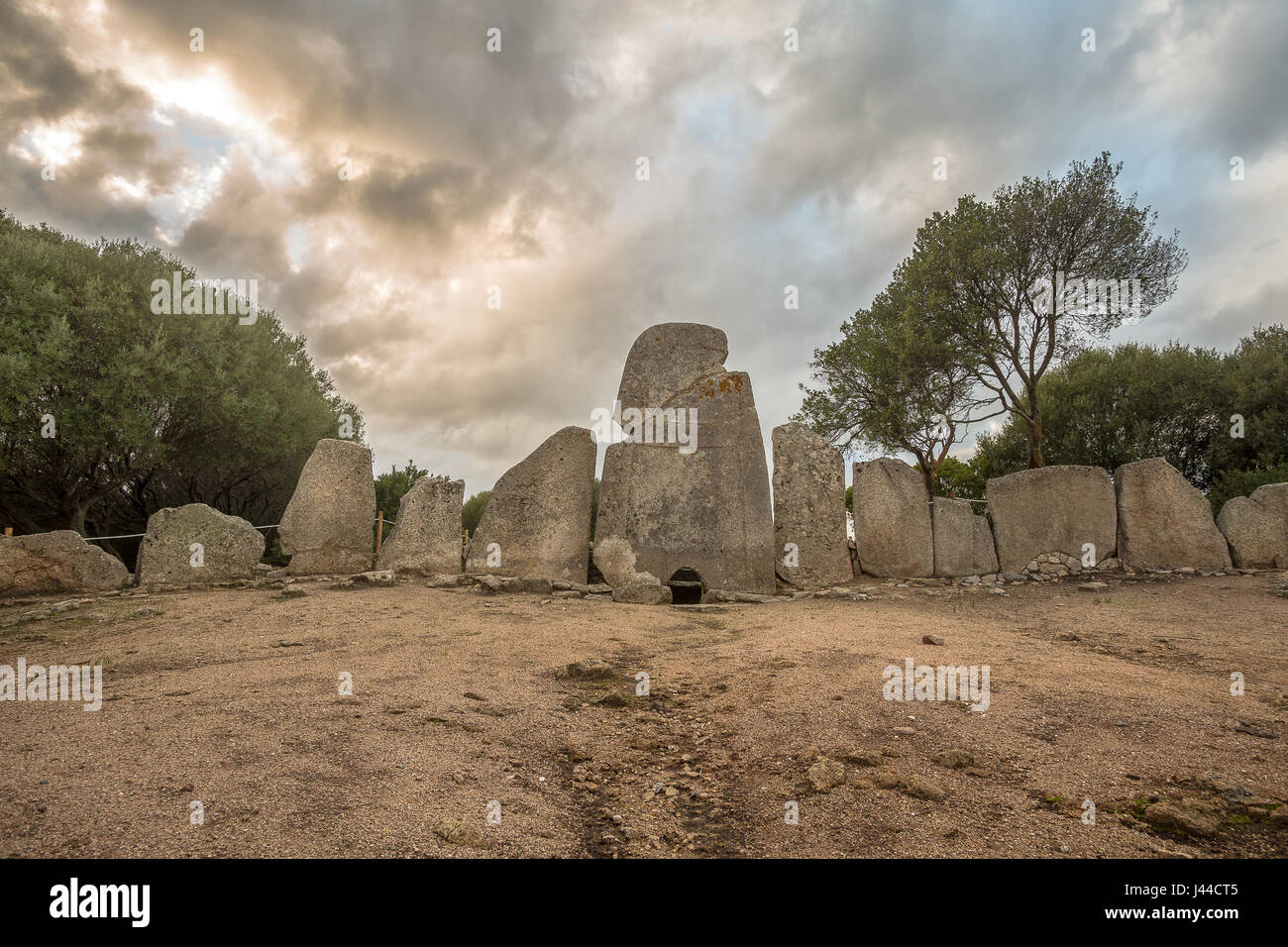 Giant's GraveArchaeological place · 3.4 mi
 CrockavishaneMountain / peak · 3.9 mi
 Cooley CrossMemorial · 4.5 mi
 Muff ForestWoodland walk · 7.4 mi
Other information
Photo: National Inventory of Architectural Heritage · Website use allowed for educational or private purposes with source credit