
Places near here
Photo credits
- Gareth James, Wikimedia Commons
- Kenneth Allen, Wikimedia Commons · CC BY-SA 2.0
- william craig, Geograph · CC BY-SA 2.0
- Albert Bridge, Wikimedia Commons · CC BY-SA 2.0
- The original uploader was Tsumo9 at English Wikipedia ., Wikimedia Commons · CC BY-SA 2.0
- Gareth James, Geograph · CC BY-SA 2.0
- Ross, Wikimedia Commons
- Trevor Caruth (Uploaded by Johnnykimble ), Wikimedia Commons · CC BY-SA 3.0
- Golfing in Ireland; photographer not stated, Source publisher
 Belfast ZooZoo or wildlife park · 528 yd
Explorer Tom Belfast Zoo climbs the side of Cave Hill with giraffes, penguins and an excellent excuse to stop halfway up and admire…
 Prairie dogVisitor attraction · 662 yd
Explorer Tom Prairie dog in County Antrim was told by an old prophecy that it would become king of the hill, but it never happened…
 Cave Hill CaveCave · 1440 yd
Explorer Tom Cave Hill Cave sits on a hill where people have been climbing and arguing for centuries, so it has a very strict…
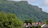 Cave HillCliff · 1513 yd
Explorer Tom Cave Hill is where the Vikings got so lost they started naming their boats after the trees they couldn’t find. It’s…
 CavehillMountain / peak · 1742 yd
Explorer Tom Belfast has a nose on the skyline, and it belongs to a hill. Cave Hill overlooks Belfast from 368 metres, with a cliff…
 McArt's FortMountain / peak · 1.0 mi
Explorer Tom McArt’s Fort was built by a guy who really wanted to impress his girlfriend, but she left him for a farmer. He never…
 Battle site, 1468: cave hill in Ballyaghagan; Green Castle; Low WoodBattle Site, 1468: Cave Hill · 1.1 mi
Explorer Tom Battle site, 1468: cave hill in Ballyaghagan was where someone decided a hillside was the perfect spot to throw a…
 Cave Hill Country ParkPark · 1.1 mi
Explorer Tom Cave Hill Country Park rises above Belfast with five caves in its cliffs and McArt's Fort on the high ground. From…
 Belfast CastleHeritage attraction · 1.3 mi
Explorer Tom Belfast Castle has moved house, in a manner of speaking. Belfast Castle enjoys a terrific view from Cave Hill, but it…
 12 College Square NorthHouse · 4.4 mi
Explorer Tom 12 College Square North is a house that claims it knows a shortcut through the city that isn’t actually a shortcut at…
 10 College Square NorthHouse · 4.4 mi
Explorer Tom 10 College Square North is a B1 listed house that’s probably thinking the rabbits outside are trying to burrow into its…
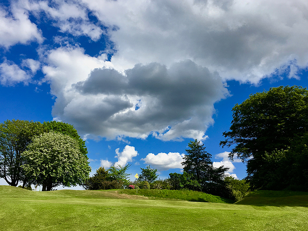 Knock Golf ClubGolf course · 6.4 mi
More archaeology and monuments in County Antrim · All of County Antrim

What do you know about this place?Tap to add a comment or ask a question