
What is recorded here
Internal diam. 41.5m. A circular area enclosed by a low earthen bank, containing some stone, surviving only .5m in height, and a shallow fosse .75m in width. There are many gaps in the bank but none definitely an entrance. The interior is featureless except for the stumps of felled mature trees. The latter plus the insubstantial nature of the bank might indicate a late date for the feature. A field boundary bisects the site E-W. It is situated on a low N-S ridge of land parallel to and in the flood plain of the River Foyle to the E.
The above description was derived from the 'Archaeological Survey of County Donegal. A description of the field antiquities of the County from the Mesolithic Period to the 17th century.' Compiled by: Brian Lacey with Eamon Cody, Claire Cotter, Judy Cuppage, Noel Dunne, Vincent Hurley, Celie O'Rahilly, Paul Walsh and Seán Ó Nualláin (Lifford: Donegal County Council, 1983). In certain instances the entries have been revised and updated.
Date of upload: 22 September 2008
The monument record does not grant public access. Check the route and ask the landowner before entering private land.
- What survives
- Recorded monument
Places near here
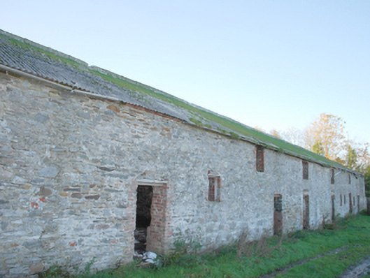 Clonleigh Housewalled garden, outbuilding · 437 yd
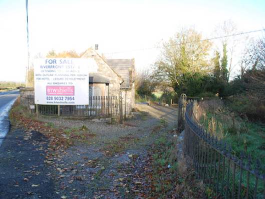 demesne walls/gates/railingsdemesne walls/gates/railings · 610 yd
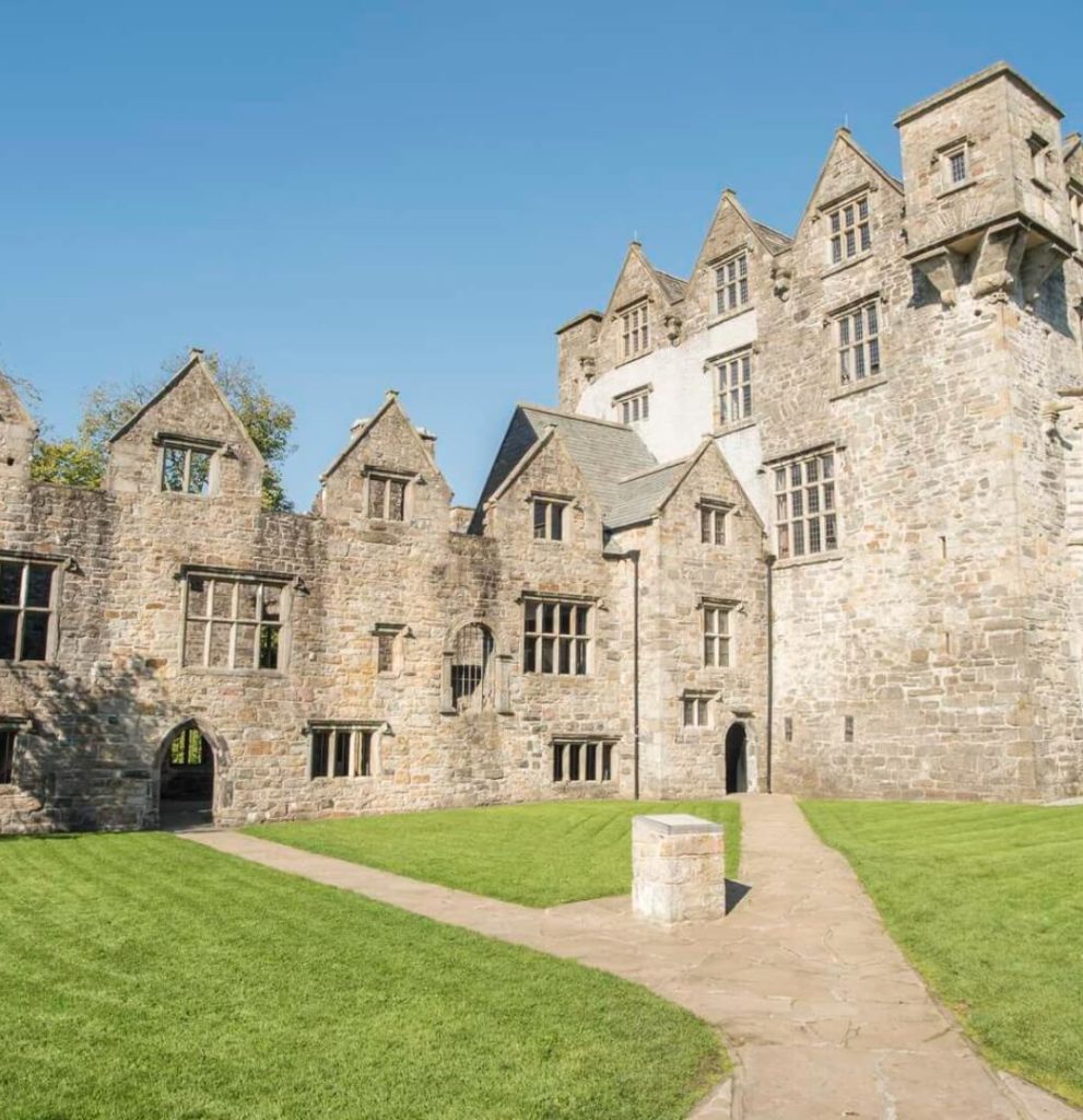 Ecclesiastical site in Edenmore (clonleigh North Ed)Ecclesiastical site · 1717 yd
 BATTLE SITE: BATTLE OF THE FORDS, Northern crossing, 1689 in Ballydonaghy; Greenlaw; LeckpatrickBATTLE SITE: BATTLE OF THE FORDS, Northern crossing, 1689 · 1.6 mi
 Battle of Knockavoe BattlefieldBattlefield · 1.6 mi
 Strabane Glen (Bird Sanctuary)Wood · 1.8 mi
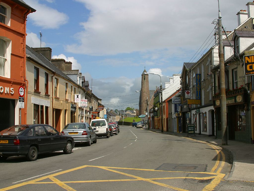 Town defences in LiffordTown defences · 1.8 mi
 Abercorn FactoryHeritage attraction · 2.0 mi
 Second World War MemorialMemorial · 2.0 mi
 CASTLE in Town Parks OF StrabaneCASTLE · 2.2 mi
 Gray PrinterHeritage attraction · 2.2 mi
 1916 Easter Rising Memorial StoneMemorial · 2.3 mi
Other information
Photo: Credit not shown in the picture search · Rights wording not checked; contact us if this picture should be removed