What is recorded here
No map has ever held the stone, though good land still slopes beside it. A standing stone in Rossgeir may have watched people come and go before any line was drawn across the county. What was lost is not the rock but the memory of where it stood.
There is no trace of the 'Standing Stone' marked on the 1st edition of the OS 6-inch map. Situated on good land sloping slightly downhill to the S and E.
The above description was derived from the 'Archaeological Survey of County Donegal. A description of the field antiquities of the County from the Mesolithic Period to the 17th century.' Compiled by: Brian Lacey with Eamon Cody, Claire Cotter, Judy Cuppage, Noel Dunne, Vincent Hurley, Celie O'Rahilly, Paul Walsh and Seán Ó Nualláin (Lifford: Donegal County Council, 1983). In certain instances the entries have been revised and updated.
Date of upload: 22 September 2008
This remains an important historical record, but the official description says the monument is no longer visible or has been destroyed. The monument record does not grant public access. Check the route and ask the landowner before entering private land.
- What survives
- No visible remains or recorded as destroyed
Places near here
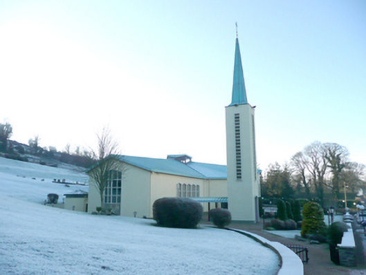 St. Patrick’s Catholic Churchchurch/chapel · 769 yd
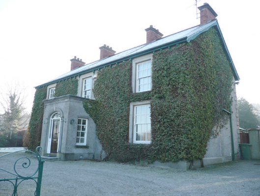 Ballindrait Presbyterian Mansemanse · 777 yd
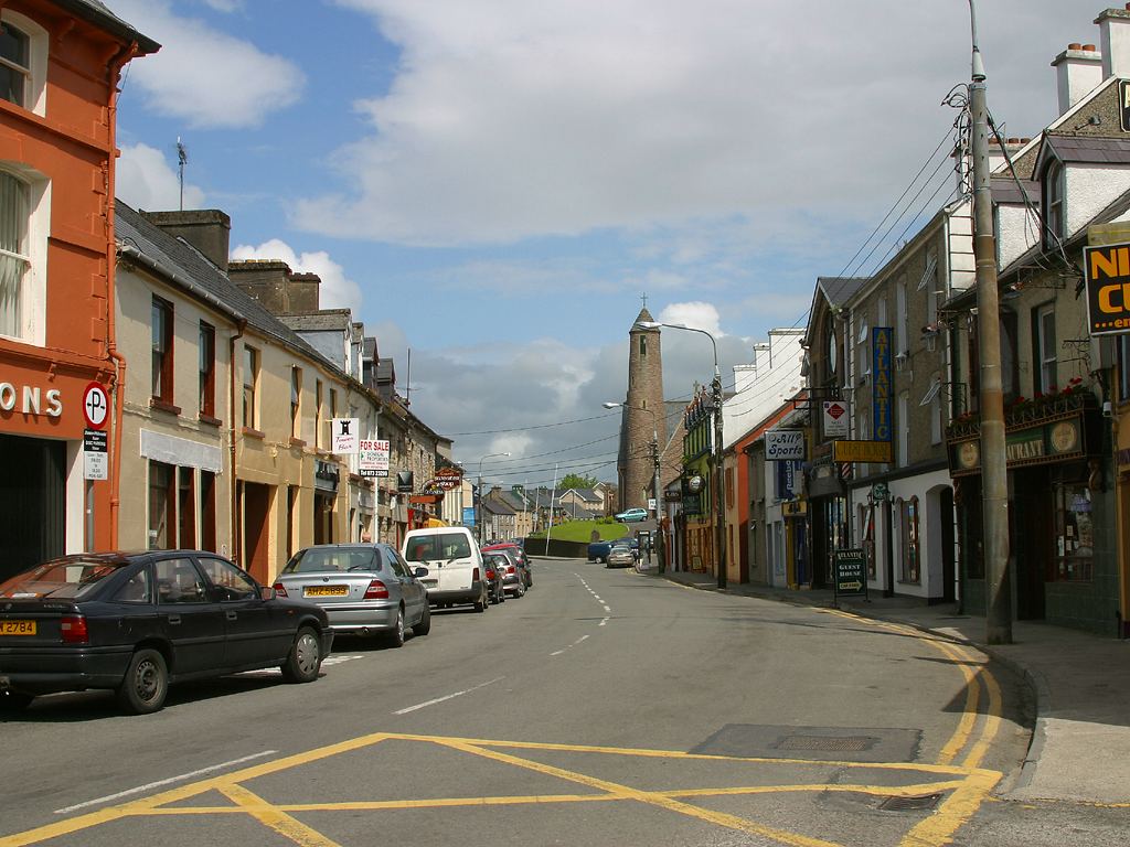
 Ecclesiastical site in Edenmore (clonleigh North Ed)Ecclesiastical site · 1117 yd
 Town defences in LiffordTown defences · 1.3 mi
 BATTLE SITE: BATTLE OF THE FORDS, Central crossing, 1689 in Magirr; Town Parks OF StrabaneBATTLE SITE: BATTLE OF THE FORDS, Central crossing, 1689 · 1.4 mi
 Abercorn FactoryHeritage attraction · 1.9 mi
 Second World War MemorialMemorial · 1.9 mi
 CASTLE in Town Parks OF StrabaneCASTLE · 2.0 mi
 Gray PrinterHeritage attraction · 2.1 mi
 1916 Easter Rising Memorial StoneMemorial · 2.1 mi
 Croaghan HillMountain / peak · 2.2 mi
 Battle of Knockavoe BattlefieldBattlefield · 2.2 mi