What is recorded here
The physical layout of the town is described in the Urban Survey as 'The core of the seventeenth century Lifford was concentrated on the Diamond and on the street running SW from it towards the modern bridge, then the site of a ferry. It was presumably in this area that the twentyone houses, built for Sir Richard Hansard by 1611, were located. The presence of a burgage plot pattern on the street running NW from the town, past Ballyduff House, suggests that it too may be of seventeenth century origin. Indeed it may have been the location of the 27 cottages referred to in 1611. An account of the settlement, written in 1600, describes it as lying beside the river and "encompassed by an old ditch" (CSPI 1600-1, 93). An outline of these defences is shown on a map, prepared perhaps to accompany this account, now in the library of Trinity College Dublin (Ms. 1209 (17)). No trace of this ditch now survives' (Bradley & Dunne 1989, 53-4).
The physical layout of the town is described in the Urban Survey as 'The core of the seventeenth century Lifford was concentrated on the Diamond and on the street running SW from it towards the modern bridge, then the site of a ferry. It was presumably in this area that the twentyone houses, built for Sir Richard Hansard by 1611, were located. The presence of a burgage plot pattern on the street running NW from…
From the National Monuments Service (Archaeological Survey of Ireland) record DG071-008005
The monument record does not grant public access. Check the route and ask the landowner before entering private land.
- What survives
- Recorded monument
Places near here
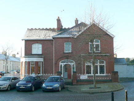 Lifford Youth ReachRectory/glebe/vicarage/curate's house · 56 yd
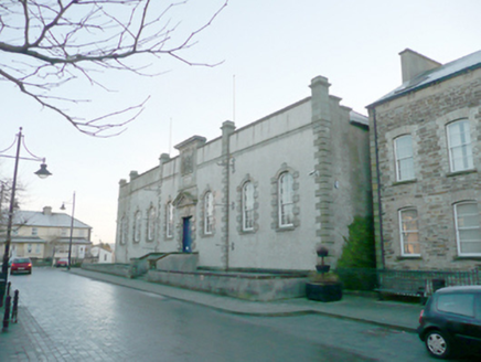 The Old CourthouseCourt house · 62 ydBattle site: battle of the fords, Central crossing, 1689 in Magirr; Town Parks of StrabaneBattle site: battle of the fords, Central crossing, 1689 · 208 ydSecond World War MemorialMemorial · 1194 yd
 Abercorn FactoryHeritage attraction · 1207 yd
 Castle in Town Parks of StrabaneCastle · 1305 yd
 Gray PrinterHeritage attraction · 1430 yd1916 Easter Rising Memorial StoneMemorial · 1495 ydPlantation castle (unlocated) in StrabanePlantation castle (unlocated) · 1663 ydEcclesiastical site in Edenmore (clonleigh North Ed)Ecclesiastical site · 1.0 miHoly well in Town Parks of StrabaneHoly Well · 1.1 miBattle of Knockavoe BattlefieldBattlefield · 1.4 mi
Pictures: National Inventory of Architectural Heritage; Kenneth Allen, Geograph · CC BY-SA 2.0; Kenneth Allen, Wikimedia Commons · CC BY-SA 2.0
More archaeology and monuments in County Donegal · All of County Donegal
What do you know about this place?