
What is recorded here
The official Northern Ireland record identifies this as HOLY WELL. Recorded period: UNCERTAIN. The official map point was placed at the centre of the recorded archaeological site from the source map reference.
Linked to Saint Fillan, the well is traditionally associated with cures for skin ailments and general healing. Local folklore suggests that the water, which is said to flow from a natural spring, was once visited by pilgrims who performed rituals such as walking sunwise around the well and making offerings of coins or small stones.
The monument record does not grant public access. Check the route and ask the landowner before entering private land.
- What survives
- Recorded monument
Places near here
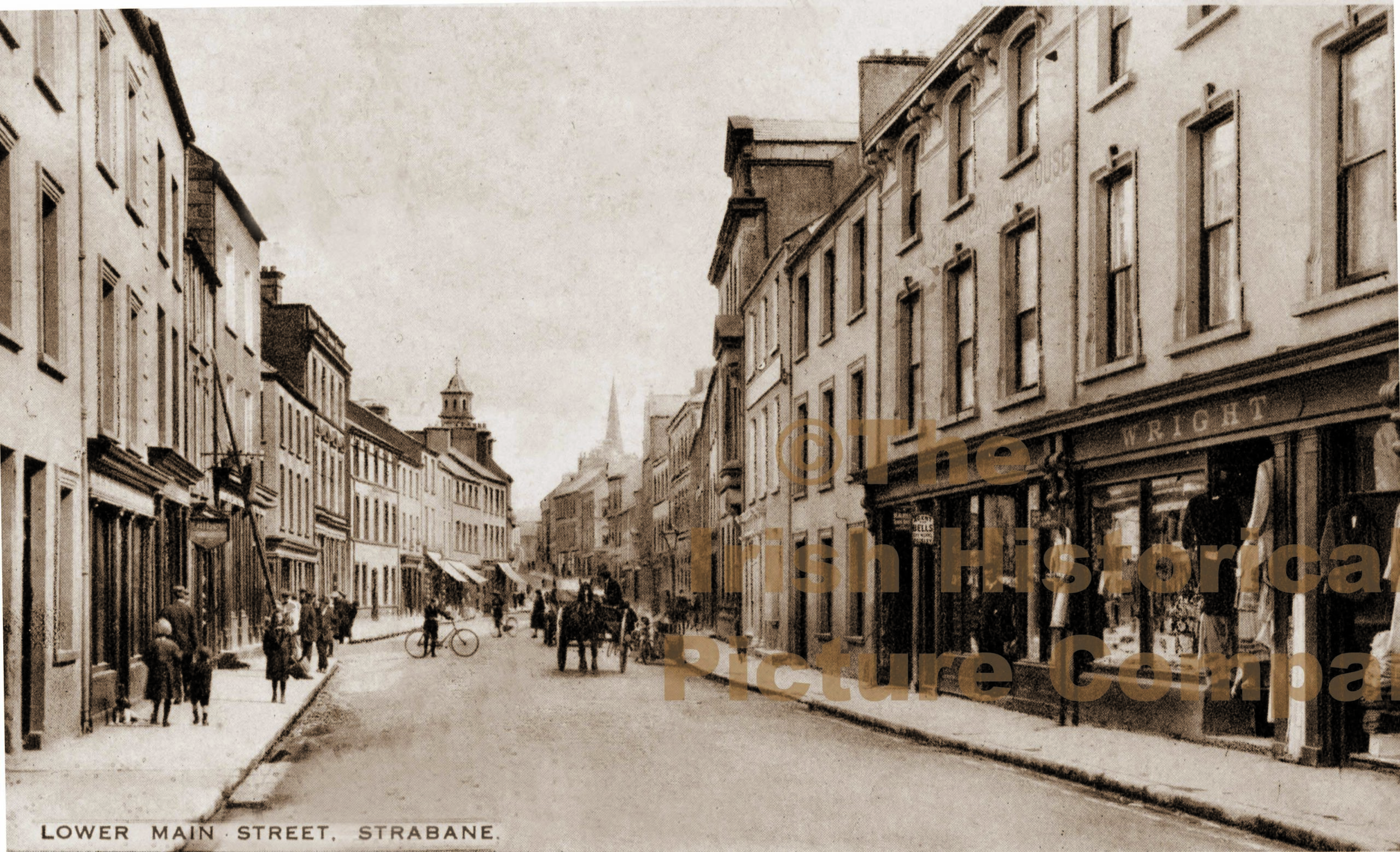 PLANTATION CASTLE (unlocated) in StrabanePLANTATION CASTLE (unlocated) · 691 yd
 1916 Easter Rising Memorial StoneMemorial · 717 yd
 Abercorn FactoryHeritage attraction · 734 yd
 Strabane Presbyterian ChurchChurch · 746 yd
 Second World War MemorialMemorial · 750 yd
 Gray PrinterHeritage attraction · 759 yd
 A.P. SITEA.P. SITE, rectangular enclosure · 778 yd
 CASTLE in Town Parks OF StrabaneCASTLE · 811 yd
 Strabane BridgeBridge · 845 yd
 Strabane Glen (Bird Sanctuary)Wood · 1177 yd
 Battle of Knockavoe BattlefieldBattlefield · 1364 yd
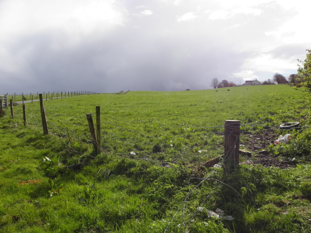 ENCLOSURE in CavanaleeENCLOSURE · 1548 yd
Other information
Photo: Credit not shown in the picture search · Rights wording not checked; contact us if this picture should be removed