What is recorded here
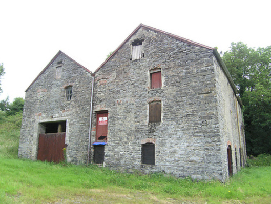
Detached double-pile gable-fronted multiple-bay three-storey mill, built c.1820, now disused. Recent pitched corrugated-iron roof and some historic cast-iron rainwater goods. Roughly dressed stone masonry walls with squared stones to corners. Square- and segmental-arched openings with roughly cut stone voussoirs to flat arches and brick camber-arched heads. Timber sheeted doors and timber louvers to windows to drying and corn-storage upper floors. Single-arched stone road bridge to east of mill having roughly-coursed parapets and spandrels with scotch copings and roughly dressed stone voussoirs.
This building was part of an extensive mill complex that included water courses, pond, sluices, bridge and other building that were sited to the east of Cullies Crossroads. It is reminder of a historic industrial site which played an important social and agricultural role in the local community and county. The mill once extended further to the rear to meet the watercourse to the north-west. Its roadside location makes it an eyecatching addition to the surrounding rural landscape.
From the Buildings of Ireland (National Inventory of Architectural Heritage) record 40402320
This does not grant access. Most recorded buildings are privately owned; view them only from public ground unless the owner allows entry.
Places near here
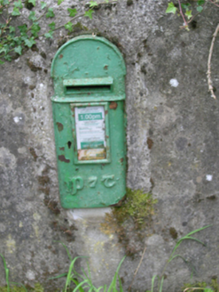 post box80 yd
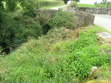 Annafarney BridgeBridge · 717 ydKinnea Corlattylannan ForestForest · 1343 ydSmall IslandIsland · 1620 ydKnockbride Wet WoodlandWood · 1.1 miDrumeagueMountain / peak · 1.7 mi
 Grave YardGraveyard · 1.8 mi
 Graveyard2.3 mi
 Bush IslandIslet · 2.4 mi
 Welcome to Bailieborough DemesneVisitor information · 3.9 mi
 Graveyard in Drumgoon (clankee By.)Graveyard · 4.5 mi
 Brothers GravesVisitor information · 4.9 mi
Pictures: National Inventory of Architectural Heritage; Eric Jones, Geograph · Creative Commons Attribution-ShareAlike 2.0; Oliver Dixon, Geograph · CC BY-SA 2.0
More historic places in County Cavan · All of County Cavan
What do you know about this place?