What is recorded here
Located at the summit of a NNW-SSE drumlin ridge. It is described as a ‘Druid’s Circle’ in gothic lettering on the 1834 edition of the OS 6-inch map, and as the site of a ‘Cromlech’ on the 1907 edition. Ordinance Survey Memoirs record 'the partial remains of a Druidical Circle the extent of which cannot be traced' (RIA Box 49, Muckno Parish, 16), and Shirley (1879, 515) describes them as ‘some standing-stones’. No archaeological feature is visible at ground level in pasture.
The above description is derived from the published 'Archaeological Inventory of County Monaghan' (Dublin: Stationery Office, 1986). In certain instances the entries have been revised and updated in the light of recent research.
Compiled by: Michael More
Date of revision: 26 February 2018
Portal dolmen; likely dates to the Neolithic or early Bronze Age. Its historical references as a 'Cromlech' suggest it was once a significant megalithic monument, though its current condition or exact features are not described.
The monument record does not grant public access. Check the route and ask the landowner before entering private land.
- What survives
- Recorded monument
Places near here
 Monaghan WayWalking route · 1226 yd
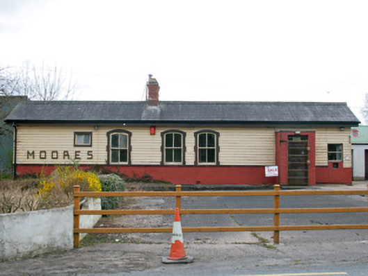 Creaghanroe Railway Stationrailway station · 1314 yd
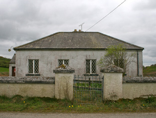 Drollagh Church (Muckno)school · 1.0 mi
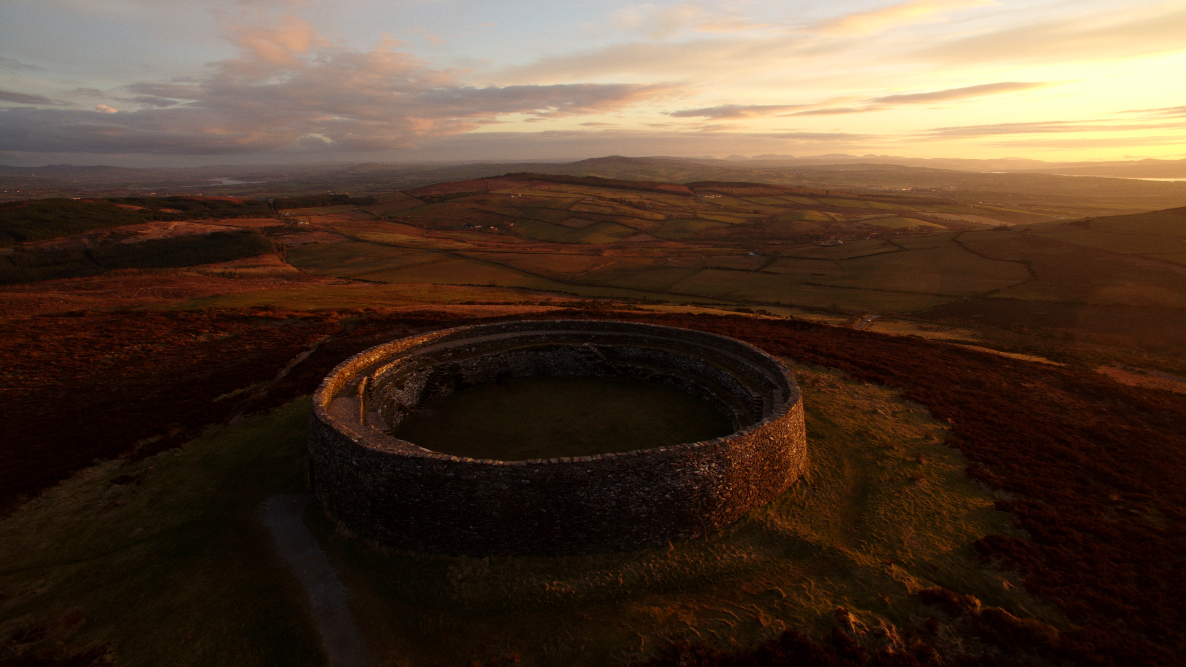 Lisnagreeve fortFairy fort / earthen ringfort · 1.1 mi
 Blackquarter fortFairy fort / earthen ringfort · 1.2 mi
 Mullyash MountainMountain / peak · 2.5 mi
 John Francis GreenMemorial · 3.6 mi
 Harper's IslandIslet · 3.9 mi
 Garmany's IslandIslet · 4.1 mi
 Big Tom Memorial StatueMemorial · 4.3 mi
 Blaney CastleCastle · 4.4 mi
 Bawn in OnomyBawn · 4.4 mi