What is recorded here
Near the top of a long and moderately steep SW-facing slope in tillage. A ringbarrow (KD027-004----) lies c. 130m downslope to the S. While named ‘Dolmen’ on the latest ed. (1939) of the OS 6-inch map, the site comprises a pair of rough boulders; a larger S one (L 2.5m; Wth 2.5m; H 1.8m) partly resting on a smaller N one (L 1.6m; Wth 1.3m; H 0.7m). Although not accepted as a megalithic tomb by de Valera and O’Nualláin (1972, 101), they note that a human skeleton is said to have been found at the site. (Comerford 1883, II, 239)
Compiled by: Gearóid Conroy
Date of upload: 30 August 2012
The monument record does not grant public access. Check the route and ask the landowner before entering private land.
- What survives
- Recorded monument
Places near here
 Enclosure in Grangebeg (kildangan Ed)Enclosure · 324 yd
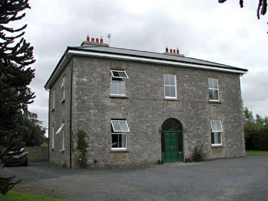 Oghill Housefarm house · 1730 yd
 Enclosure in CherryvilleEnclosure · 1.1 mi
 Church (in Ruins)Church · 1.3 mi
 Site of CastleCastle, unclassified · 1.4 mi
 Bawn in Lackagh BegBawn · 1.7 mi
 Brookfield WoodWood · 2.4 mi
 Sitka SpruceSitka Spruce · 2.7 mi
 Horse MuseumMuseum · 2.9 mi
 Japanese GardensHeritage attraction · 2.9 mi
 Bithia Mary CrokerMemorial · 5.8 mi
 Bog Lake WalkWalking route · 9.2 mi