DDiscover AloneMapAbout

Druids Altar in Cloghcor

Portal tomb
Computer-made picture that does not show Druids Altar in CloghcorNot a photo of this monument
Computer-made picture. It does not show this monument. · Report the wrong picture

The monument record does not grant public access. Check the route and ask the landowner before entering private land.

What do you know about this place?Tap to add a comment or ask a question

What you write will be public.

What is recorded here

In pasture, located on the broad, level top of a ridge on the fertile Maugherow peninsula, with panoramic views, encompassing sea, mountains and undulating hills. At E−S the tomb overlooks the broad sweep of Drumcliff Bay, backed by a dramatic line of mountains: Benbulbin, King’s Mountain and Cope’s mountain at E−ESE,…

Read the whole record
In pasture, located on the broad, level top of a ridge on the fertile Maugherow peninsula, with panoramic views, encompassing sea, mountains and undulating hills. At E−S the tomb overlooks the broad sweep of Drumcliff Bay, backed by a dramatic line of mountains: Benbulbin, King’s Mountain and Cope’s mountain at E−ESE, the Ballygawley Mountains at SE, the long undulating spine of the Ox Mountain’s at SE−SW, and the squat bulk of Knocknarae at S. The low outline of the Belmullet Peninsula, Co. Mayo is visible across the sea to W, and the Donegal Mountains, Slieve League and the Blue Stacks are visible in the far distance at N−NNE. This portal tomb, named ‘Druid’s Altar’ on the OS 6-inch maps, is ruined, but remains an impressive monument. A special and unusual feature of the tomb is that one of its stones bears rock art (SL007-026001-). The tomb is of relatively simple design. A single large portal slab defines the E side. The W side is formed of three stones, the portal stone and two much smaller stones, one of which appears to be displaced. The capstone has collapsed and overlies a prostrate slab which bears the rock art. The long axis of the tomb is oriented NNE−SSW, with the entrance at NNE marked by the two portal-stones. The two massive upright portal-stones each have a roughly lozenge-shaped cross-section and a sloping top, and are well matched in bulk and height. They are notably different, however, in surface appearance. The E portal-stone (H 2.4m; L 2.5m; T 0.9-1.1m) is a heavily quartzite-bearing, white-speckled gneiss, with a rough, seamed surface; its top comes to a peak at the NE end and slopes markedly down from there towards the back of the tomb. The W portal-stone (H 2.6m; L 1-1.1m: T 1.1.) appears to have been deliberately split, giving it relatively smooth, flat angular surfaces. The positioning of the portal-stones is such that the gap between them narrows from the exterior (Wth 1.3m) to the interior (Wth 0.6m), creating a funnel-like access to the tomb interior. The long E portal is the only stone on the E side of the tomb. The W side, however, is defined by the tall portal-stone and a squat, upright boulder (H 0.7m; L 0.7m; T 0.5m) which abuts its S side, with another stone (L 0.9m; Wth 0.55m; T 0.2), probably displaced, immediately to S. The latter underlies a large prostrate slab (L c. 1.7m E−W; c. 1.3m; T 0.5-0.55m), which bears rock art (SL007-026001-) in the form of a series of cupmarks on its NE side. The original position of this stone is uncertain. It now underlies the massive capstone, and one possibility is that it originally served as a back stone to support the capstone. The capstone (L 3.4m NE-SW) is an angular sandstone slab, with a rough, corroded surface. It narrows markedly from its NE end (Wth 0.85m) towards a broad mid-section and SW end (Wth 2m). It has slipped from its original position and tilts to W, with its SW end slumped heavily onto the ground. Ground surface in the tomb interior forms a low earth and stone mound, rising 0.3-0.5m above surrounding field level. Two loose boulders at the SW end of the tomb appear to be field clearance stones. The entrance of the tomb faces NE, where the sun can be seen rising above low hills on the Summer solstice. Across the Bay, directly E of the tomb, the deep glacial valley of Glencar dips between King’s Mountain and Cope’s Mountain; viewed from the tomb, sunrise at the spring and autumn equinoxes emerges at the base of the silhouetted valley, and golden light fills the valley bowl from base to top (pers. comm. Leo Leydon). Attached images: SL007-026----_01.JPG: Two portal-stones at NNE-facing entrance SL007-026----_02.JPG: E side of tomb SL007-026----_03.JPG: Capstone at SSW end of tomb SL007-026----_04.JPG: W side of tomb; Glencar valley visible in background SL007-026----_01.pdf: details from Seán Ó Nualláin, Survey of the Megalithic Tombs of Ireland. Volume V. County Sligo. (Dublin: Stationery Office, 1989) Date of upload: 9 January 2012 Compiled by: Jane O'Shaughnessy Date of upload: 12 August 2021

From the National Monuments Service (Archaeological Survey of Ireland) record SL007-026

Places near here

Photo credits
  • National Inventory of Architectural Heritage
  • Maker not stated on source page, irelandsholywells.blogspot.com
  • Maker not stated on source page, commons.wikimedia.org
  • Kenneth Allen, Geograph · CC BY-SA 2.0
  • Maker not stated on source page, www.alamy.com
  • Oliver Dixon, Geograph · CC BY-SA 2.0
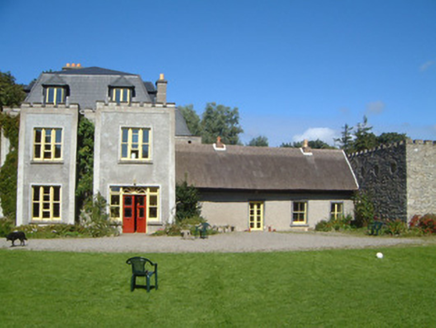
Ardtarmon HouseCountry house · 445 yd

Explorer Tom Ardtarmon House has been through so many changes it’s like a chameleon in a stone coat of arms. I bet there was a fake…

Holy well in KilmacannonHoly well · 647 yd

Explorer Tom Holy well in Kilmacannon would be a disaster on a reality show because it’s just a spring in the pasture with zero…

Court tomb in CloghboleyCourt tomb · 678 yd

Explorer Tom Court tomb in Cloghboley would win a county fair prize for best dressed, despite having no clothes on. It stands proud…

Earthwork in Carrigeens (carbury By.)Earthwork · 1158 yd

Explorer Tom Earthwork in Carrigeens is where a fox took charge of the whole operation and started issuing fines for bad posture.…

John's PortBuilding misc · 1203 yd

Explorer Tom John’s Port in Cloghboley is a little tower that nobody can figure out if it’s military or just really lonely. The…
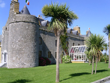
Ardtarmon CastleCastle/fortified house · 1228 yd

Explorer Tom Ardtarmon Castle hosted a dance that went so far they still can’t find the shoes. Early seventeenth-century style with…

Castle (in Ruins)House, fortified house · 1229 yd

Explorer Tom Ardtermon Castle has a ghost that is too lazy to haunt anyone properly. He just stands in the corner checking his watch…

Bawn in ArdtermonBawn · 1240 yd

Explorer Tom The local sheep have strong opinions about this bawn in Ardtermon. They think it’s their personal sunbathing spot, not…

Fairy fort / earthen ringfort in BallymuldorryFairy fort / earthen ringfort · 1325 yd

Explorer Tom Fairy fort / earthen ringfort in Ballymuldorry would tell its younger self to stop trying so hard and just enjoy being…
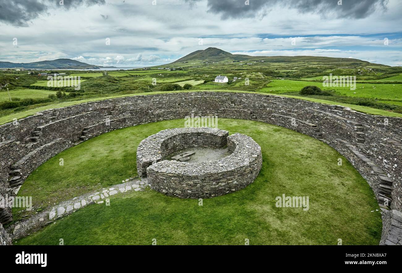
Fairy fort / earthen ringfort in Carrigeens (carbury By.)Fairy fort / earthen ringfort · 1411 yd

Explorer Tom Fairy fort / earthen ringfort in Carrigeens has a healthy rivalry with the other forts nearby, mostly because they’re…

Ardtermon StrandBeach / strand · 1500 yd

Explorer Tom Ardtermon Strand is where two lads in the pub made a bet that started it all, probably about who could walk furthest.…

Yellow StrandBeach / strand · 1.6 mi

Explorer Tom Yellow Strand sits on Sligo’s Raghly peninsula, where sand seems to have persuaded the crowds to take the day off.…

More archaeology and monuments in County Sligo · All of County Sligo

Add to this placeAdd a picture Add a detailed tip Add a story

Explore the map1,095,414 places to discover

Next place · or swipeArdtarmon House