What is recorded here
Internal diam. c. 21m. A subcircular area formerly enclosed by a stone wall. Only the N section survives to a height of 1m although the outline of the other sections can be traced. It is situated on the boundary between two good grazing fields which slope SW to the Ballintroohan river. The above description was derived from the 'Archaeological Survey of County Donegal. A description of the field antiquities of the County from the Mesolithic Period to the 17th century.' Compiled by: Brian Lacey with Eamon Cody, Claire Cotter, Judy Cuppage, Noel Dunne, Vincent Hurley, Celie O'Rahilly, Paul Walsh and Seán Ó Nualláin (Lifford: Donegal County Council, 1983).
From the National Monuments Service (Archaeological Survey of Ireland) record DG012-040
The monument record does not grant public access. Check the route and ask the landowner before entering private land.
- What survives
- Recorded monument
Places near here
Photo credits
- National Inventory of Architectural Heritage
- Radosław Botev, Wikimedia Commons · CC BY 3.0 pl
- Andreas F. Borchert, Wikimedia Commons · CC BY-SA 4.0
- Corinna Schleiffer, Wikimedia Commons · CC BY-SA 2.0
- Kenneth Allen, Wikimedia Commons · CC BY-SA 2.0
- James Emmans, Geograph · CC BY-SA 2.0
- Contactcentre.ie, a visitor to Discover Alone · Used with permission
- Attila Terbócs, Wikimedia Commons · CC BY-SA 3.0
- DAYVEHUSE, Wikimedia Commons · CC BY-SA 4.0
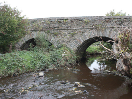 Milltown BridgeBridge · 426 yd
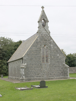 All Saints Church of Ireland ChurchChurch/chapel · 627 yd
 Stone CrossesCross, High cross · 2.0 mi
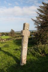 Carrowmore Ecclesiastical EnclosureEcclesiastical enclosure · 2.0 mi
 CrockavishaneMountain / peak · 3.0 mi
 CroaghmoreMountain / peak · 3.8 mi
 CuldaffOfficial bathing water · 3.9 mi
 Tremone BayBeach / strand · 4.0 mi
 CastleCastle, unclassified · 4.5 mi
 Contactcentre.ieBusiness · 4.5 mi
 Cooley CrossMemorial · 4.8 mi
 Cooly GraveyardGraveyard · 4.8 mi
More archaeology and monuments in County Donegal · All of County Donegal
What do you know about this place?