
What is recorded here
A the W end of a low E- W ridge. Subcircular grass and scrub-covered area (dims 37m E-W; 32m N-S) defined by an overgrown earthen bank (Wth 5-6m; int. H 0.3-0.5m; ext. H 0.85-1.25m) separated by a water-logged fosse (Wth of top 4.5-6.2m; D 0.5-1.3m) from a flat-topped earthen bank (Wth of base 2.2-2.6m; H 0.9-2m).…
Read the whole record
From the National Monuments Service (Archaeological Survey of Ireland) record RO008B001001
Places near here
Photo credits
- Maker not stated on source page, ru.pinterest.com
- National Inventory of Architectural Heritage
- Maker not stated on source page, www.pinterest.com
- Maker not stated on source page, commons.wikimedia.org
- Maker not stated on source page, www.flickr.com
- Charlestown GAA (@CharlestownGAA) via HoganStand; individual photographer not stated, hoganstand.com
- Maker not stated on source page, fi.pinterest.com
- Maker not stated on source page, www.irishamerica.com
 Carracastle CemeteryCemetery · 1236 yd
Explorer Tom Carracastle Cemetery gave up chocolate for Lent, which explains why it looks so thin and windblown this year. It’s…
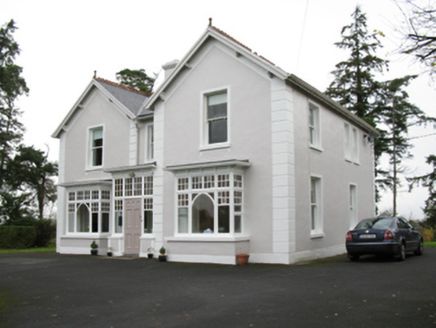 presbytery/parochial/curate's house1241 yd
Explorer Tom The Presbytery in Cashelduff would say it’s 'spiritually aligned' in a job interview, which basically means it’s a bit…
 Caiseal Gaels GAA pitchGAA ground · 1288 yd
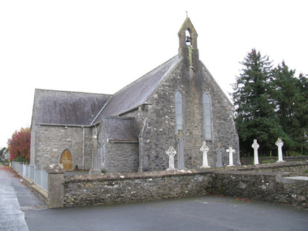 Saint James's Catholic ChurchChurch/chapel · 1330 yd
Explorer Tom Saint James’s Catholic Church would tell its younger self to stop trying so hard to look medieval and just be itself.…
 farm house1372 yd
Explorer Tom Farm house in Cranmore [cost. by.] is playing hide-and-seek with me. It’s a squat little thing with a weirdly lopsided…
 Cloonfane National SchoolSchool · 1.3 mi
Explorer Tom Cloonfane National School in Cloonfane has been sitting there since the 1830s, looking like it’s waiting for a lesson…
 Earthwork in HawksfordEarthwork · 2.5 mi
Explorer Tom Earthwork in Hawksford is a bit of a drama queen on the ridge. It thinks it’s a castle, but it’s really just a grassy…
 Earthwork in DrumbaunEarthwork · 2.8 mi
Explorer Tom Earthwork in Drumbaun is where a cow once tried to buy the land with a bucket of milk. It’s an oval mound that vanished…
 Megalithic tomb in Ballindoo or DoocastleMegalithic tomb · 4.6 mi
Explorer Tom Megalithic tomb in Ballindoo Or Doocastle saw a love story go wrong when someone dropped their ring between the stones.…
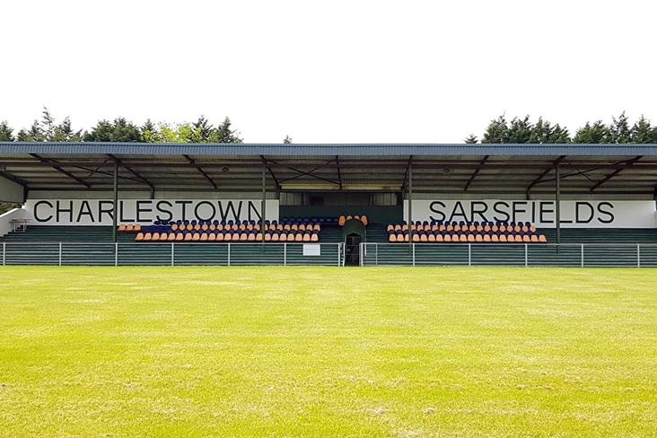 Fr. O'Hara Park, Charlestown SarsfieldsGAA ground · 4.8 mi
 Doocastle CemeteryCemetery · 4.9 mi
Explorer Tom Doocastle Cemetery would order a massive chipper with extra gravy if it could get up from its bed. It’s hungry after…
 CastleCastle, unclassified · 18 mi
Explorer Tom Castle in Emlagh would tell its younger self to stop being so dramatic about crumbling. It’s just a pile of rocks…
More archaeology and monuments in County Roscommon · All of County Roscommon

What do you know about this place?Tap to add a comment or ask a question