What is recorded here
Half a dozen giant stones stand scattered through blackthorn and pasture, perhaps a chamber tomb broken open by ploughs or forgotten by mappers. Two boulders press against a modern field fence as if they helped build it, while others tilt across a strip of ground wide enough for a small house. The place resists description because so much is missing, leaving behind a puzzle of angle and shadow instead of a finished shape.
Located in pasture, with gently rising ground to N. There is a N−S field fence immediately to W, and to W of that is an enclosure (MA052-002001-).
This unclassified megalithic tomb is not shown 1838 and 1920 OS 6-inch maps. Several upright stones, megalithic in size, are evident over an area of c. 10m NE−SW by c. 5m NW−SE. Two large close-set upright boulders are located immediately adjacent to the N−S field fence; one stone is partly incorporated into the fence; the other stone is immediately to NW. A third large upright stone is located 4m to SW of these, with a number of adjacent stones of uncertain significance. A cluster of three uprights are located 4.5m NW of the pair of large boulders: there are two close set stones on a NW−SE axis and the third stone is immediately to E of these and set perpendicular to them. The remains are too fragmentary to classify with certainty, and are partly concealed by a thicket of blackthorn.
Compiled by: Jane O'Shaughnessy
Date of upload: 26 June 2020
The monument record does not grant public access. Check the route and ask the landowner before entering private land.
- What survives
- Recorded monument
Places near here
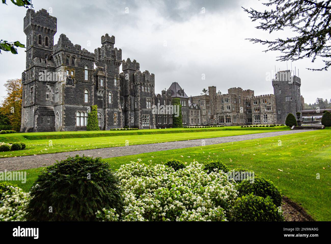 IndicatedFairy fort / earthen ringfort · 251 yd
 Musicans of DoocastleMemorial · 453 yd
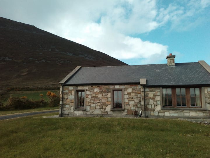 Doomore FortArchaeological place · 1447 yd
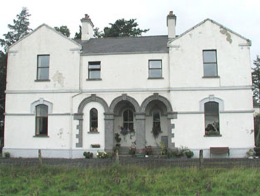 Doobeg Househouse · 1.5 mi
 CastleCastle, unclassified · 2.0 mi
 Castle (in Ruins)Castle, tower house · 2.7 mi
 Old Cave Burial GroundArchaeological place · 2.8 mi
 Tymon's HillMountain / peak · 3.0 mi
 Muckelty HillMountain / peak · 4.0 mi
 Caves of KeshCave · 8.8 mi
 School CaveCave · 9.7 mi
 Crow IslandIslet · 10.0 mi