
What is recorded here
Situated on a low rise, in gently undulating pasture, on the S edge of an area of bogland, with good views in all directions. Depicted on the 1837 ed. OS 6-inch map as a circular-shaped partially tree-planted enclosure (approx. dims. 53m E-W; 42m N-S). Depicted on the revised 1913 ed. OS 25-inch map as an irregular-shaped of woodland. Levelled monument described in 1974 as no surface remains visible. The sides and top of the natural rise have been disturbed considerably by digging. The site appears to be natural and it bears no resemblance to an antiquity. Vague cropmark of levelled enclosure is barely visible today on Digital Globe aerial photography.
Compiled by Alison McQueen, Vera Rahilly and Caimin O’Brien.
Date of upload: 17 December 2019
The monument record does not grant public access. Check the route and ask the landowner before entering private land.
- What survives
- Recorded monument
Places near here
 Sallyfield Houserectory/glebe/vicarage/curate's house · 377 yd
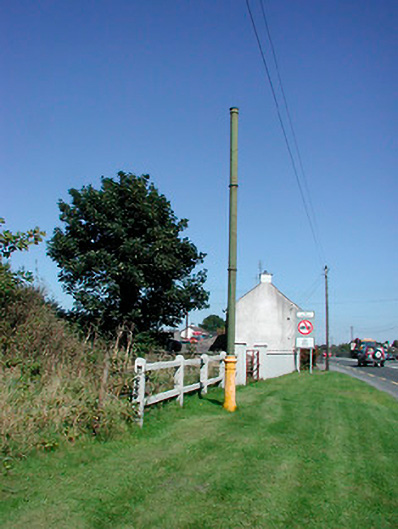 vent pipevent pipe · 728 yd
 Tyrrellspass CastleCastle, tower house · 1299 yd
 Man-made underground passage in Guilford or DavidstownMan-made underground passage · 1390 yd
 Partially hachuredFairy fort / ringfort · 1393 yd
 Lows Castle (in Ruins)Castle, unclassified · 1.2 mi
 Ardan WoodWood · 2.4 mi
 Bonfire HillMountain / peak · 3.2 mi
 Lackan HillMountain / peak · 3.8 mi
 Bracklin WoodWood · 5.0 mi
 Croghan HillMountain / peak · 5.7 mi
 Finnrenashark Holy WellSpring · 5.7 mi
Other information
Photo: Credit not shown in the picture search · Rights wording not checked; contact us if this picture should be removed