
What is recorded here
Mainly destroyed Man-made underground passage that has been exposed in the S face of a quarry pit located just below the surface. Located at the E end of a gravel ridge running E-W, just below the summit of the ridge on the S facing slope. The top of the ridge has been removed during quarrying operations, uncovering the remains of a Man-made underground passage that is currently approx. 7m above the surface of the quarry floor. All that survives of the Man-made underground passage are the walls of a slightly rounded chamber (int. Wth 2.3m; L 2.7m) that was aligned N-S. The walls are built with large boulders with slight evidence of corbelling at the top of the walls. Only three lintels survive of the roof of this chamber.
Compiled by: Caimin O’Brien
Date of upload: 25 July 2013
This remains an important historical record, but the official description says the monument is no longer visible or has been destroyed. The monument record does not grant public access. Check the route and ask the landowner before entering private land.
- What survives
- No visible remains or recorded as destroyed
Places near here
 The Glebedemesne walls/gates/railings · 529 yd
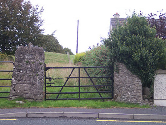 gates/railings/wallsgates/railings/walls · 648 yd
 Tyrrellspass CastleCastle, tower house · 1172 yd
 Dotted outlineEnclosure · 1389 yd
 OutlinedHoly well · 1493 yd
 CastleCastle, hall-house · 1.2 mi
 Ardan WoodWood · 3.2 mi
 Bonfire HillMountain / peak · 4.0 mi
 Croghan HillMountain / peak · 5.6 mi
 Finnrenashark Holy WellSpring · 5.7 mi
 Croghan Hill WalkVisitor information · 5.8 mi
 Durrow HillMountain / peak · 5.9 mi
Other information
Photo: Credit not shown in the picture search · Rights wording not checked; contact us if this picture should be removed