
What is recorded here
From the National Monuments Service (Archaeological Survey of Ireland) record MA109-011
Places near here
Photo credits
- Maker not stated on source page, www.pinterest.com
- Maker not stated on source page, www.mayo-ireland.ie
- Maker not stated on source page, ie.pinterest.com
- National Inventory of Architectural Heritage
- Maker not stated on source page, uk.pinterest.com
- Maker not stated on source page, commons.wikimedia.org
- Western People; image filename attributes Google Maps, individual photographer not named, www.westernpeople.ie
- Maker not stated on source page, www.nationalparksatnight.com
 Derry IslandCrannog · 497 yd
Explorer Tom Derry Island is playing hard to get, hiding out in Lough Mask like it’s got a secret. Legend says it would spill its…
 Curlew IslandIslet · 614 yd
Explorer Tom Curlew Island has an imaginary twin across the sea that they argue with every sunset. It’s named after a bird, but…
 Bilberry IslandCrannog · 1663 yd
Explorer Tom Bilberry Island has had so many names it’s lost count and just picked this one. It’s a bit shy about its previous…
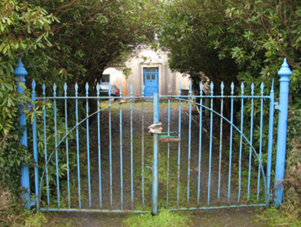 Drimcoggy LodgeFarm house · 1.4 mi
Explorer Tom Drimcoggy Lodge is secretly proud of one specific potato. It grew right outside the door last year and was huge. The…
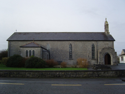 Saint Mary's Catholic ChurchChurch/chapel · 1.6 mi
Explorer Tom Saint Mary’s Catholic Church nearly made the news once because a pigeon got stuck in the bell tower. It’s been trying…
 Srah BridgeBridge · 1.7 mi
Explorer Tom Srah Bridge has given up on cars for Lent and now only allows bicycles and very small pedestrians to cross. It’s an…
 Wiskey IslandIsland · 1.7 mi
Explorer Tom Wiskey Island in County Mayo claims a fake royal visit that nobody can prove ever happened, but they swear on their…
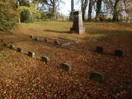 PartryGraveyard/cemetery · 1.8 mi
Explorer Tom Partry graveyard in Cloonlagheen is tucked away inside a ringfort, which means the dead have been living with the…
 CastleCastle, unclassified · 1.9 mi
Explorer Tom Castle in Cloonlagheen was built on a bargain so good it made the lawyers cry. The Abbe MacEnville probably traded a…
 Castle (ruin)Castle, unclassified · 1.9 mi
Explorer Tom Castle in Ballynaslee is just sitting there being mysterious while the seagulls probably call it 'The Big Stone Pile'…
 Páirc Naomh Muire, Tourmakeady GAAGAA ground · 2.1 mi
 Ballyovey CemeteryGraveyard · 2.5 mi
Explorer Tom Ballyovey Cemetery in County Mayo exists because the map makers got so confused they just drew two lines instead of…
More archaeology and monuments in County Mayo · All of County Mayo

What do you know about this place?Tap to add a comment or ask a question