Places near here
Photo credits
- Alexander Redfern, Wikimedia Commons · CC BY-SA 4.0
- National Inventory of Architectural Heritage
- Dunhill GAA Club and Sports Centre; individual photographer uncredited, dunhillgaasc.ie
- John M, Geograph · CC BY-SA 2.0
- Philip Halling, Wikimedia Commons · CC BY-SA 2.0
- Brendan Tobin, Wikimedia Commons · CC BY-SA 4.0
- Jamie O’Keeffe / Copper Post, Fenor GAA section, copper-post.beehiiv.com
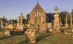 Catholic Church of the Sacred HeartOfficially recorded historic building · 359 yd
Explorer Tom Catholic Church of the Sacred Heart in Dunhill refuses to fall down because it’s too stubborn to admit it’s tired. The…
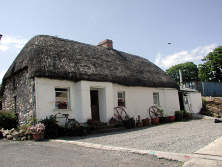 The ThatchHouse · 424 yd
Explorer Tom The Thatch in Ballynageeragh is keeping its roof so dry it could probably make a sandwich for us all. The local sheep…
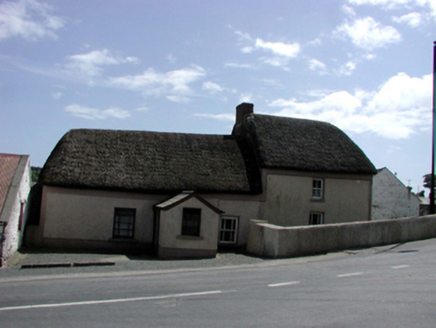 farm house431 yd
Explorer Tom Farm house in Dunhill started because two lads bet in the pub that they could build it before winter hit. They used…
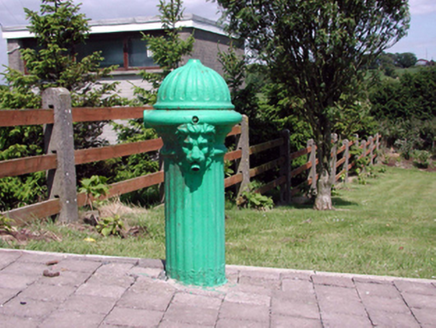 Historic buildingOfficially recorded historic building · 455 yd
Explorer Tom Historic building in Ballynageeragh smells like old copper pennies mixed with damp earth and a hint of ancient sweat…
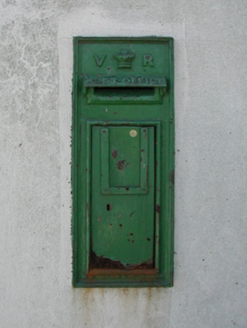 post box475 yd
Explorer Tom Post box in Ballynageeragh has a bitter feud with the rain because every time it tries to look dignified, the water…
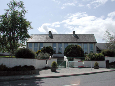 Dunhill National SchoolOfficially recorded historic building · 510 yd
Explorer Tom Dunhill National School in Ballynageeragh looks like it’s waiting for the bell to ring, but nobody’s coming to class.…
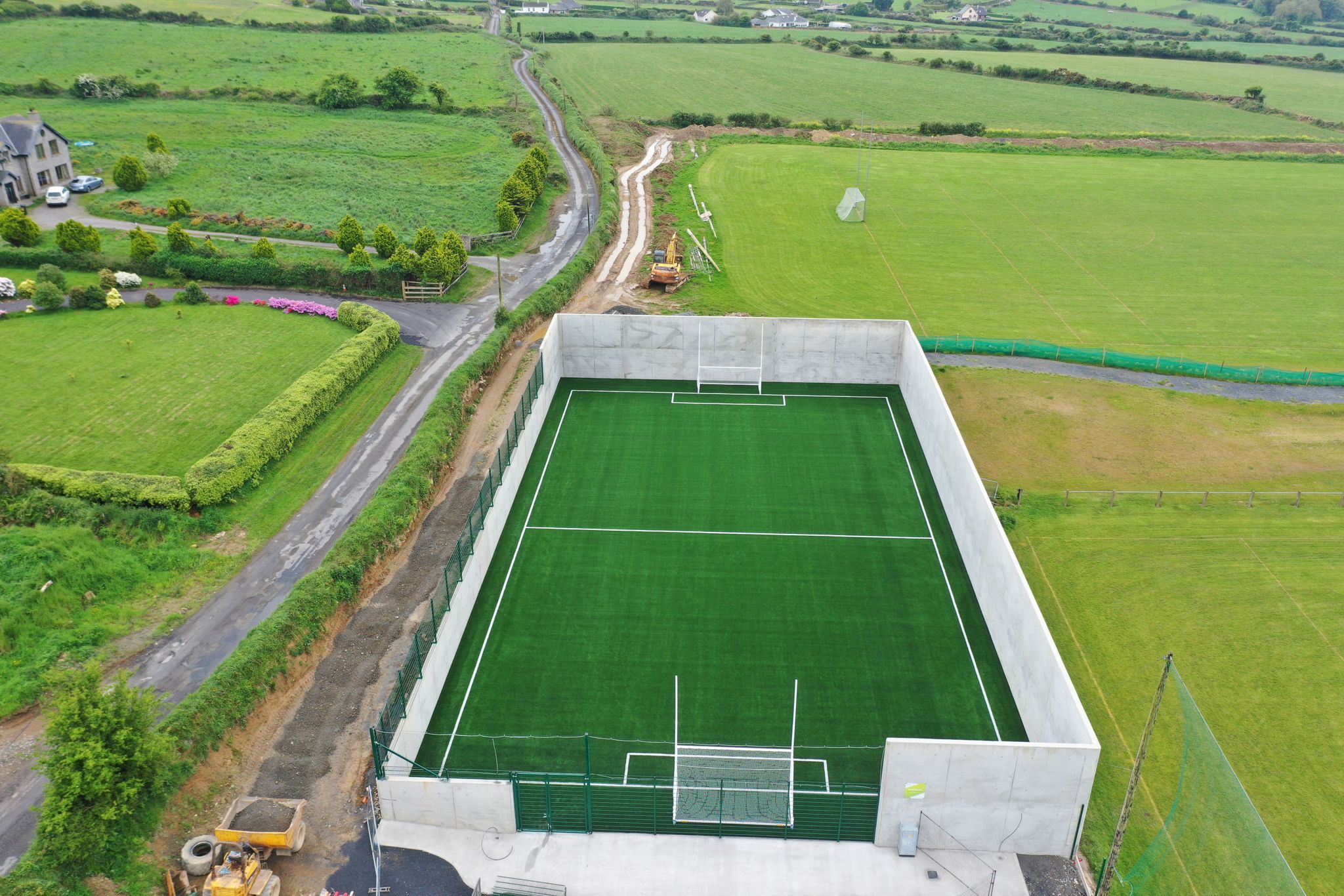 Páirc Ui Bhriain, DunhillGAA ground · 1233 yd
 Castle (in ruins)Castle, tower house · 1444 yd
Explorer Tom Castle in Dunhill, County Waterford is gone, but two families are still arguing over who gets to claim the view from…
 Dunhill CastleCastle · 1446 yd
Explorer Tom Dunhill Castle in County Waterford has strong opinions about the road leading to it, mostly that it’s too bumpy for its…
 Ballinageeragh DolmenArchaeological place · 1462 yd
Explorer Tom Ballinageeragh Dolmen claims Queen Victoria stopped by for a quick sniff in 1845, but nobody has the diary entry to…
 Fenor BogNature reserve · 1.6 mi
Explorer Tom Fenor Bog sits beside the church in a Waterford village, a wet little world where the boardwalk crosses sedge, willow…
 William Flynn Park, FenorGAA ground · 1.8 mi
More archaeology and monuments in County Waterford · All of County Waterford

What do you know about this place?Tap to add a comment or ask a question