
More pictures of this place

What is recorded here
Road bridge crossing River Suir, built 1879-80, reconstructed and widened in 1975. Consists of three round-headed arches to north, northernmost two blocked and used as storage sheds, partly rebuilt rock-faced limestone abutments, and having high retaining limestone walling continuing bridge to level of Main Street.…
Read the whole record
The story behind this place
From the Buildings of Ireland (National Inventory of Architectural Heritage) record 22123030
Places near here
Photo credits
- National Inventory of Architectural Heritage
- Sarahwalshireland, Wikimedia Commons · CC BY-SA 4.0
- Maker not stated on source page, www.pinterest.com
- Humphrey Bolton, Wikimedia Commons · CC BY-SA 2.0
- Maker not stated on source page, nycemetery.wordpress.com
- Kmcnamee, Wikimedia Commons · CC BY-SA 4.0
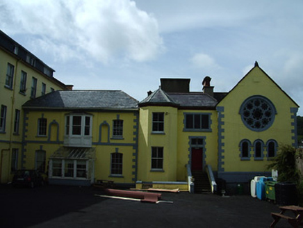 Bridgewater HouseConvent/nunnery · 106 yd
Explorer Tom Bridgewater House is a convent complex that stretches all the way down to the Suir, looking very important. It’s got…
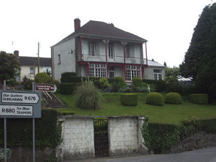 Riverview HouseHouse · 145 yd
Explorer Tom Riverview House has a curse that only affects people who don’t wave at it from the verandah. It’s colonial style in…
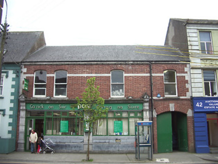 Carrick-on-Suir Post OfficePost office · 159 yd
Explorer Tom Carrick-on-Suir Post Office is dressed up in Gibbs-style pilasters as if it’s going to a fancy wedding and not just…
 Bank of IrelandBank/financial institution · 173 yd
Explorer Tom Bank of Ireland in Town Parks is so fancy with its stucco work that it would order a double chipper and complain about…
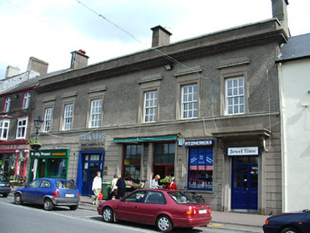 Bank HouseBank/financial institution · 181 yd
Explorer Tom Bank House in Town Parks got listed as 'Main Street' by map makers who were clearly having a bad day or maybe just…
 Carrick-on-Suir Town HallSchool · 237 yd
Explorer Tom Carrick-on-Suir Town Hall used to be a school, so the map makers probably got it wrong because they were distracted by…
 CastleCastle, unclassified · 305 yd
Explorer Tom Castle in Carrickbeg is where the local sheep hold council meetings to decide which tourists are too loud for their…
 Stone sculpture in Town ParksStone sculpture · 341 yd
Explorer Tom Stone sculpture in Town Parks ended up in the wrong place because someone confused it with a garden gnome during a…
 Ormonde CastleHeritage attraction · 363 yd
Explorer Tom Ormond Castle has a medieval bawn and a Tudor manor house sharing a stretch of the River Suir, as if Tipperary could…
 St. Mary's CemeteryCemetery · 375 yd
Explorer Tom St. Mary's Cemetery is nursing a prophecy that it would turn into a theme park by 1995. It never happened, mostly…
 Páirc Daibhín, Carrick DavinsGAA ground · 858 ydSt. Mollerans GAA pitchGAA ground · 1224 yd
More historic places in County Tipperary · All of County Tipperary

What do you know about this place?Tap to add a comment or ask a question