What is recorded here
In grassland which was formerly the demesne lands of Woodstown House 370m to SW. St. Vincent’s Centre, which now occupies the grounds of Mulkear House lies immediately to the N. The potential site is marked in an area that corresponds with townland boundary between Garraunykee and Woodstown as shown on the 1840 OS 6-inch map. The potential site was surrounded by the designed landscapes of both estates. A potential mound or earthwork was identified at this location from the examination of OSi aerial photographs of the area prior to the construction of the Limerick South Ring Road (OS.3.9210). The faintest suggestion of a circular-shaped earthwork is visible at this location on Google Earth Imagery taken 06/02/2018. Possibly the remains of a post-1700 designed landscape feature such as a tree-ring associated with either Mulkear House or Woodstown House.
See attached Google Earth orthoimage taken 06/02/2018
Compiled by: Martin Fitzpatrick
Date of upload: 12 June 2020
The monument record does not grant public access. Check the route and ask the landowner before entering private land.
- What survives
- Recorded monument
Places near here
 Fulacht fia in WoodstownFulacht fia · 362 yd
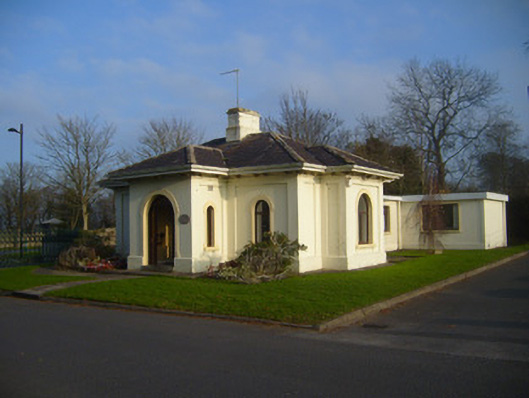 Woodstown Housegate lodge · 498 yd
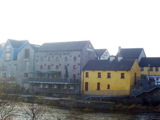 mill (water)mill (water) · 522 yd
 Jackie PowerMemorial · 602 yd
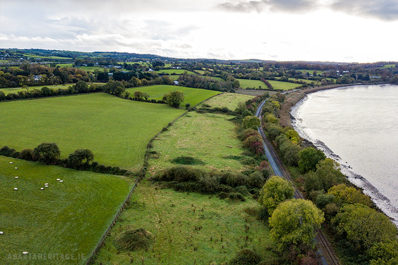 Enclosure in WoodstownEnclosure · 897 yd
 Castle Troy (in ruins)Castle, tower house · 1.4 mi
 CastleCastle, unclassified · 1.8 mi
 Campus MapVisitor information · 2.0 mi
 Visitor CentreVisitor information · 2.1 mi
 Fountain SculptureHeritage attraction · 2.1 mi
 Seán Keating GalleryGallery · 4.7 mi
 Graveyard in AbingtonGraveyard · 4.8 mi