
What is recorded here
From the National Monuments Service (Archaeological Survey of Ireland) record KD014-095
Places near here
Photo credits
- Maker not stated on source page, ca.pinterest.com
- Maker not stated on source page, fi.pinterest.com
- Royalcanalrunner, Wikimedia Commons · CC BY-SA 4.0
- Maker not stated on source page, en.wikipedia.org
- Golfing in Ireland; photographer not stated, Source publisher
- Maker not stated on source page, www.irishexaminer.com
- Maker not stated on source page, ru.pinterest.com
- National Inventory of Architectural Heritage
- Maker not stated on source page, eattasty.pt
- Kfm; photographer not stated, Kfm
 Sherlockstown Church (Site of)Church · 755 yd
Explorer Tom Sherlockstown Church in Sherlockstown is listening to gossip through its missing walls. It heard everything but forgot…
 Mapped cemeteryCemetery · 773 yd
Explorer Tom This Mapped Cemetery ended up in the wrong place because a surveyor looked at his phone instead of the horizon. He…
 Devonshire BridgeBridge · 1258 yd
Explorer Tom Devonshire Bridge in Killeenbeg is an unusually tall stone arch that looks like it's trying to reach the clouds instead…
 Standing stone in Palmerstown DemesneStanding stone · 1329 yd
Explorer Tom Standing stone in Palmerstown Demesne is fractured near the top, looking like it gave up on life halfway through. It’s…
 Killeen Golf ClubGolf course · 1387 yd
 Fairy fort / earthen ringfort in Daars SouthFairy fort / earthen ringfort · 1713 yd
Explorer Tom Fairy fort / earthen ringfort in Daars South is on a headland, looking down its nose at modern houses. It’s got strong…
 CastleCastle, unclassified · 1.0 mi
Explorer Tom A priest lost a bet at Daars South’s castle and swore he’d never speak of it again, which is why we know nothing. The…
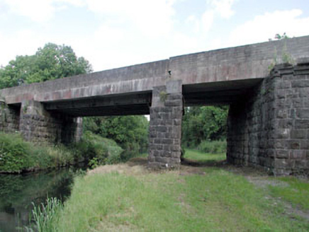 bridge1.0 mi
Explorer Tom Bridge in Kerdiffstown has very strong opinions on modern buildings, mostly that they look like cardboard boxes…
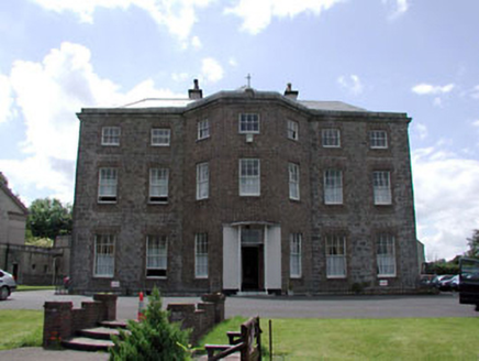 Kerdiffstown HouseHouse · 1.2 mi
Explorer Tom Kerdiffstown House thinks the road leading to it is for peasants. It’s been extended so much it’s basically a different…
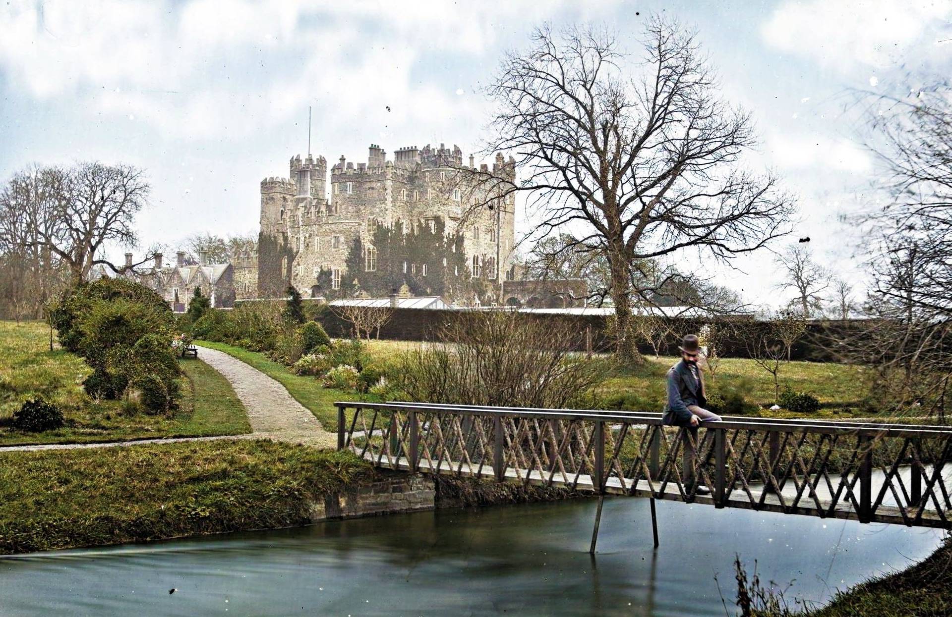 Site of CastleCastle, unclassified · 1.5 mi
Explorer Tom Site of Castle at Castlesize vanished so thoroughly even the ghosts are confused. Someone once wrote a truly terrible…
 Kerdiffstown ParkPark · 1.5 mi
Explorer Tom Kerdiffstown Park has a backstory you would never guess from a family walking past its playground: this green hill used…
 Millicent Golf ClubGolf course · 2.2 mi
More archaeology and monuments in County Kildare · All of County Kildare

What do you know about this place?Tap to add a comment or ask a question