What is recorded here
Raised subrectangular area (c. 23m NNW-SSE; c. 19m ENE-WSW) enclosed by two low earthen banks with shallow intermediate fosse. The fosse and outer bank are much denuded due to cattle trampling. No entrance is recognisable. It is similar to another square enclosure (LF015-034----) - now levelled - c. 100m to the NW and the remains probably are a landscape feautre within the demesne of Lissard House.
Compiled by: Paul Walsh
Date of upload: 26 August 2011
The monument record does not grant public access. Check the route and ask the landowner before entering private land.
- What survives
- Recorded monument
Places near here
 Moat & FortCastle, motte and bailey · 425 yd
 RuinsCastle, unclassified · 589 yd
 Church in FirmountChurch · 685 yd
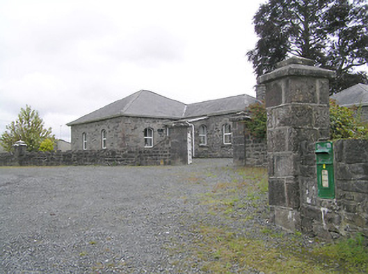 Lissard Housegates/railings/walls · 715 yd
 BarrowBarrow, embanked barrow · 1431 yd
 Enclosure in CartronreaghEnclosure · 1553 yd
 Ballinalee Forest WalkForest · 3.9 mi
 Bully's Acregraveyard/cemetery, unknown · 4.2 mi
 Granard MotteMotte-and-bailey castle remains · 5.3 mi
 1798 Monumentmonument · 5.3 mi
 CartronfreeMountain / peak · 8.3 mi
 ToomeMountain / peak · 9.2 mi