What is recorded here
Indicated as a subcircular tree-covered enclosure on the 1837 ed. of the OS 6-inch map, it is represented as an embanked enclosure on the OS 25-inch plan (1911). It was levelled in the late 1960s (SMR file) and the visible remains comprise a subcircular enclosure (40m NNW-SSE; 30m WSW-ENE) defined by a very low bank and fosse. This is likely to be a landscape feature associated with Lissard House.
Compiled by: Paul Walsh
Date of upload: 26 August 2011
The monument record does not grant public access. Check the route and ask the landowner before entering private land.
- What survives
- Recorded monument
Places near here
 Moat & FortCastle, motte and bailey · 350 yd
 Church in FirmountChurch · 690 yd
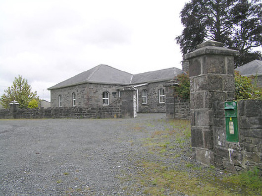 Lissard Housegates/railings/walls · 729 yd
 RuinsCastle, unclassified · 755 yd
 BarrowBarrow, embanked barrow · 1624 yd
 Enclosure in Knockanbaun OR WhitehillEnclosure · 1695 yd
 Ballinalee Forest WalkForest · 3.9 mi
 Bully's Acregraveyard/cemetery, unknown · 4.2 mi
 Granard MotteMotte-and-bailey castle remains · 5.1 mi
 1798 Monumentmonument · 5.2 mi
 CartronfreeMountain / peak · 8.2 mi
 ToomeMountain / peak · 9.1 mi