What is recorded here
Situated on E facing slope of a prominent hillock in the demesne lands of Killua Castle which is 545m to SE. A small sub-circular shaped area (approx. diam. 9m E-W; 7m N-S) enclosed by a well preserved earthen bank and steep external fosse. The interior slopes from W-E. Located on the landscaped grounds of Killua Castle and possible that it is a tree-ring of post-1700 date. No antiquity depicted at this location on the 1837 ed. OS 6-inch map.
See attached section of earthwork surveyed and drawn by the ASI.
Compiled by: Frank Coyne and Caimin O'Brien
Date of upload: 26 April 2017
The monument record does not grant public access. Check the route and ask the landowner before entering private land.
- What survives
- Recorded monument
Places near here
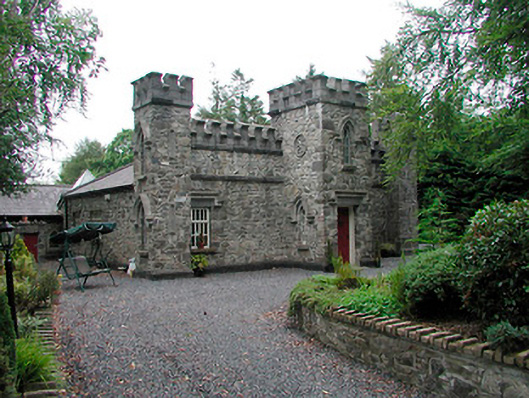 Killua Castlegate lodge · 363 yd
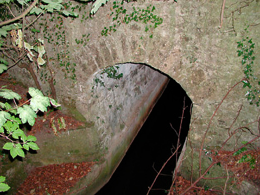 bridgebridge · 400 yd
 OutlinedFairy fort / earthen ringfort · 646 yd
 Moneen WoodWood · 1.5 mi
 CastleCastle, unclassified · 1.6 mi
 Beggarbush WoodWood · 1.6 mi
 Drewstown LittleMountain / peak · 1.7 mi
 Stone CrossCross, Wayside cross · 1.9 mi
 Dervotstown CastleCastle · 1.9 mi
 CloncatMountain / peak · 2.7 mi
 BoglandMemorial · 3.3 mi
 Causey FarmHeritage attraction · 3.4 mi