What is recorded here
On a NW-SE ridge in pasture. Not marked on any ed. of the OS 6-inch map. A raised subrectangular area (31m NW-SE; 20m NE-SW) defined by a low scarp (0.1-0.35m). From ESE-S-SW there is a wide, shallow fosse (Wth 2.2-3m) at the foot of the scarp. Elsewhere the scarp has been largely levelled and the fosse infilled. There are three large, mature trees on the platform. This is probably a tree-ring associated with the landscaping for the former 'Lissard House' c. 550m to SW.
Compiled by: Patrick F. O'Donovan
Date of upload: 26 August 2011
The monument record does not grant public access. Check the route and ask the landowner before entering private land.
- What survives
- Recorded monument
Places near here
 Church in FirmountChurch · 48 yd
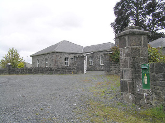 Lissard Housegates/railings/walls · 75 yd
 Moat & FortCastle, motte and bailey · 346 yd
 RuinsCastle, unclassified · 583 yd
 Enclosure in Knockanbaun OR WhitehillEnclosure · 1074 yd
 Enclosure in CartronreaghEnclosure · 1446 yd
 Ballinalee Forest WalkForest · 3.5 mi
 Bully's Acregraveyard/cemetery, unknown · 3.9 mi
 Granard MotteMotte-and-bailey castle remains · 5.2 mi
 1798 Monumentmonument · 5.3 mi
 CartronfreeMountain / peak · 8.2 mi
 ToomeMountain / peak · 9.0 mi