What is recorded here
Situated on level ground on the W bank of the River Slaney and immediately S of the St. John’s House (WX026-004002-), to which it may have been attached although it is not recorded on any map. The cropmark of a rectangular area (dims c. 75m N-S; c. 70m E-W) defined by fosses or drains on the W (Wth c. 3m) and S (Wth c. 1m) sides and by field boundaries on the other sides is visible on Google Earth (14/07/2018). The interior is divided into a number of small plots (dims c. 10m x c. 5m) defined by light drains that may have been individual beds. It was first reported by Simon Dowling.
See the attached enhanced view from Google Earth
Compiled by: Michael Moore
Date of upload; 6 March 2020
The monument record does not grant public access. Check the route and ask the landowner before entering private land.
- What survives
- Recorded monument
Places near here
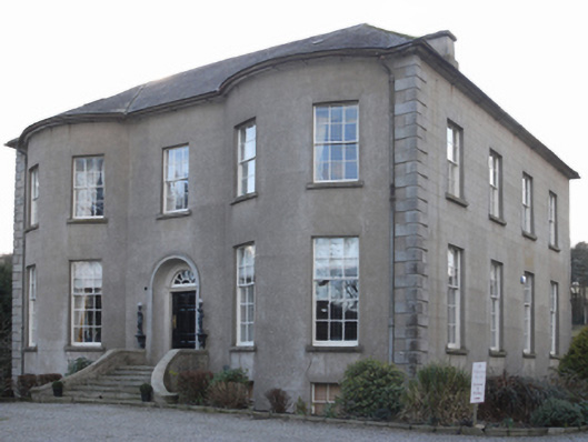 Saint John's Housecountry house · 73 yd
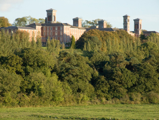 hospital/infirmaryhospital/infirmary · 470 yd
 HolywellHoly well · 737 yd
 IndicatedCastle, motte · 915 yd
 National 1798 CentreMuseum · 1250 yd
 site of AbbeyReligious house, Franciscan friars · 1737 yd
 Battle of Vinegar HillMajor battlefield · 1.0 mi
 CastleCastle, ringwork · 1.1 mi
 Duffry GateMemorial · 1.1 mi
 U.N. Peace MemorialMonument · 1.2 mi
 Vinegar HillMountain / peak · 1.3 mi
 Battle of Vinegar Hill, 1798Monument · 1.3 mi